


Earth Science Research News
Earth News and Information
Filters
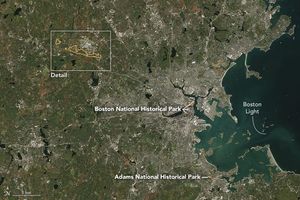
Sites relevant to the start of the American Revolutionary War are interspersed throughout the modern-day Boston metropolitan region.

Marshy, sandy terrain and an impassable inlet helped colonial forces repel British forces during a pivotal battle on the barrier island near Charleston, South Carolina, on June 28, 1776.
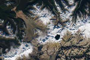
Apollo astronauts previewed their roles as lunar field geologists in Alaska’s Valley of Ten Thousand Smokes.

Eight commercial data providers received contracts to provide a range of data in support of NASA’s Earth science priorities.

Drifting sea ice fragments near Alaska’s Saint Lawrence and Nunivak islands and colorful water around the Yukon Delta heralded the approach of the summer solstice.

The Nebraska Sandhills—the largest system of sand dunes in the Western Hemisphere—stretch across about one-quarter of the state.
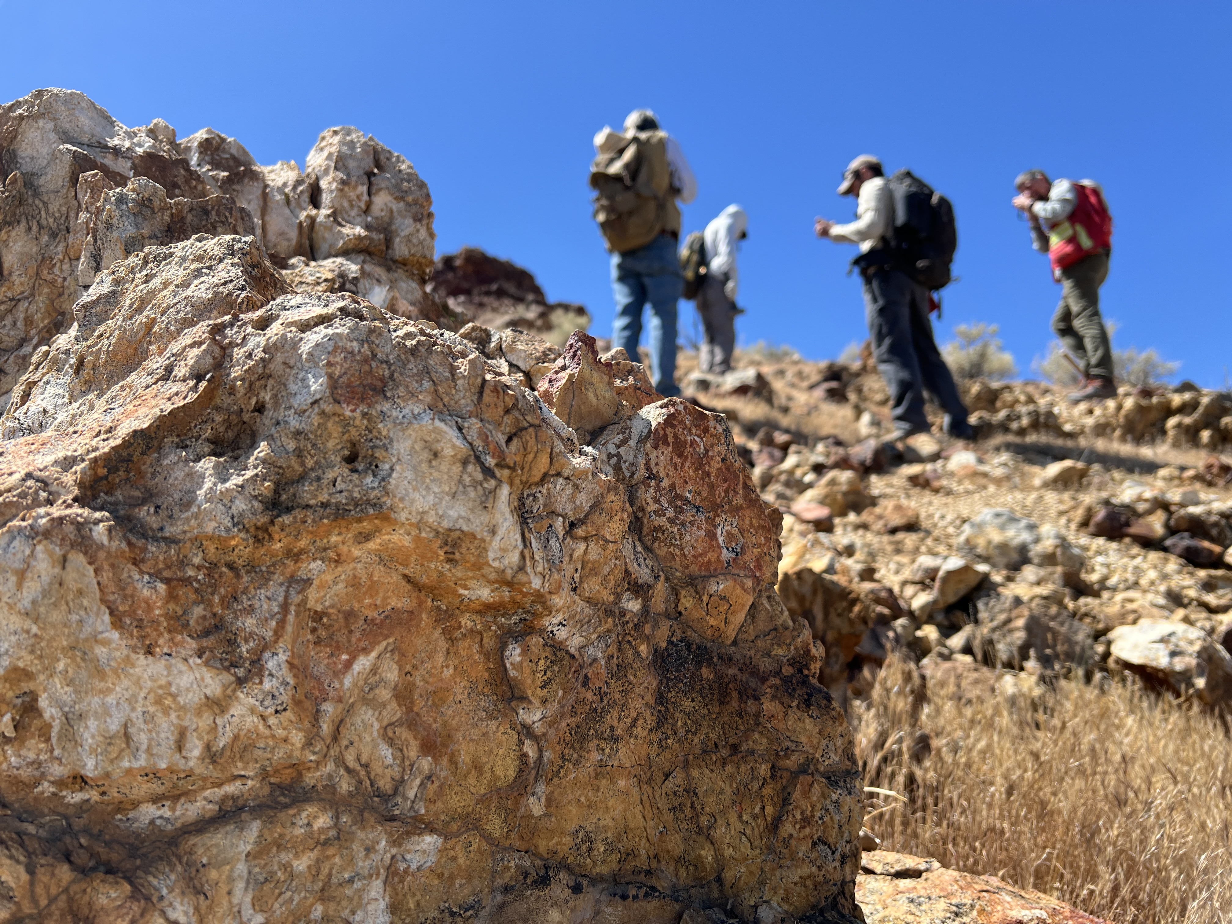
Equipped with rock picks and hand lenses, a team of geoscientists deployed to the Mojave Desert recently to investigate a tantalizing “fingerprint” detected by a NASA sensor. Their target: a cache of topaz hiding in plain sight. The geologists weren’t…

Abstracts are now being accepted for the session, which will take place at the 2027 AMS Annual Meeting.

Ice splintered off the southern Patagonia glacier and drifted across a growing glacial lake.
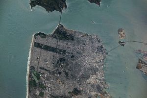
Urban development, green spaces, and maritime activity converge in this Northern California city.