


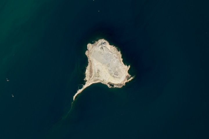
Update on April 23, 2026: This Landsat 8 image shows the tadpole-shaped island Xərə Zirə Adası (also known in Russian as Ostrov Bulla). The island, located in the Caspian Sea and part of Azerbaijan, is made of mud volcano deposits that were later reshaped by waves and currents. Congratulations to Franklin for being the first reader to name the location. Special mentions go to the Earth to Sky team, Travis Harrington, and James Varghese for their interesting and thoughtful replies. Read more about the area in our Image of the Day story, "A School of Mud Volcano Islands in Azerbaijan." Thank you for your many submissions, and please read on for more from the winners!
---------------------------------------------------
Bulla Island, also called Xara Zira, in the Caspian Sea off Azerbaijan. Mud volcano! Appears to have been an abandoned Soviet-era industrial area.
– Franklin at 2:07 p.m. on April 14.
---------------------------------------------------
As a team, we believe it is Bulla Island (also known as Khara Zira or Xara Zira) in the Caspian Sea. We puzzled out that it was most likely in a deep lake, reservoir, or sea. Most ocean islands have at least a shelf off to one side or another, though not always. It needed to be somewhere that it is arid since it was devoid of plant life. It spoke to us because it was shell shaped and may have been covered in water in the past. We looked it up and apparently it is full of oil and gas reserves. Cheers!
– Earth to Sky Team at 5:40 p.m. on April 14.
---------------------------------------------------
The island is the largest of 30 islands of mostly mud volcano origins. The main island is roughly ovoid in shape with elevated portions up to 50m on a broad plateau. Coastlines are mostly rocky with moderate slope with a moorage point on the end of the 2km thin tongue extending from the southwest of the island. There have been 13 recorded volcanic events between 1810 and 2006, so the island is still semi active. There is a volcanic water lagoon on the southeastern coast of the island. Lack of abundant vegetation due to poor soil quality and scarce freshwater has left this island uninhabited. The island is home to typical semi-desert plants and animals. There are gazelles on the island. The rabbits on the island number in the hundreds. The lack of predators here has led to their rapid and uncontrolled increase in numbers. Other inhabitants of the island are waterfowl and lizards. Gulls are more common among birds. Khara-Zira hydro-meteorological station is the local source of climate data.
– Travis Harrington at 9:50 p.m. on April 14.
---------------------------------------------------
This is Bulla Island (Khara Zira), the largest "pressure-release valve" of Azerbaijan’s Baku Archipelago. Captured by Landsat 8, the image captures a literal geological burp—a mud volcano that "farts" new land into existence by pushing mineral-rich slurry to the surface. While it looks like a desolate moonscape, this island is a powerhouse for human survival: the same deep-seated methane that fuels its spectacular eruptions is captured by undersea pipelines to heat homes and generate over 90% of Azerbaijan’s electricity. With its distinct southwest-trailing spit acting as a natural flow meter for the Caspian Sea’s counterclockwise currents, the island is a witty reminder that Mother Earth’s internal "indigestion" is quite literally what keeps the lights on and the food warm for the rest of us.
– James Varghese at 11:10 pm on April 19.
---------------------------------------------------
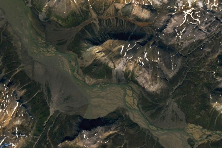
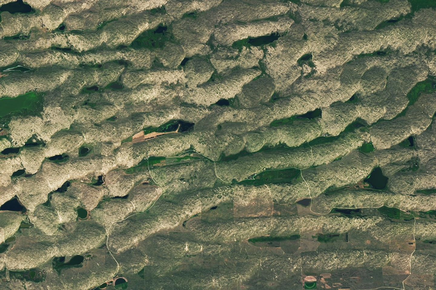
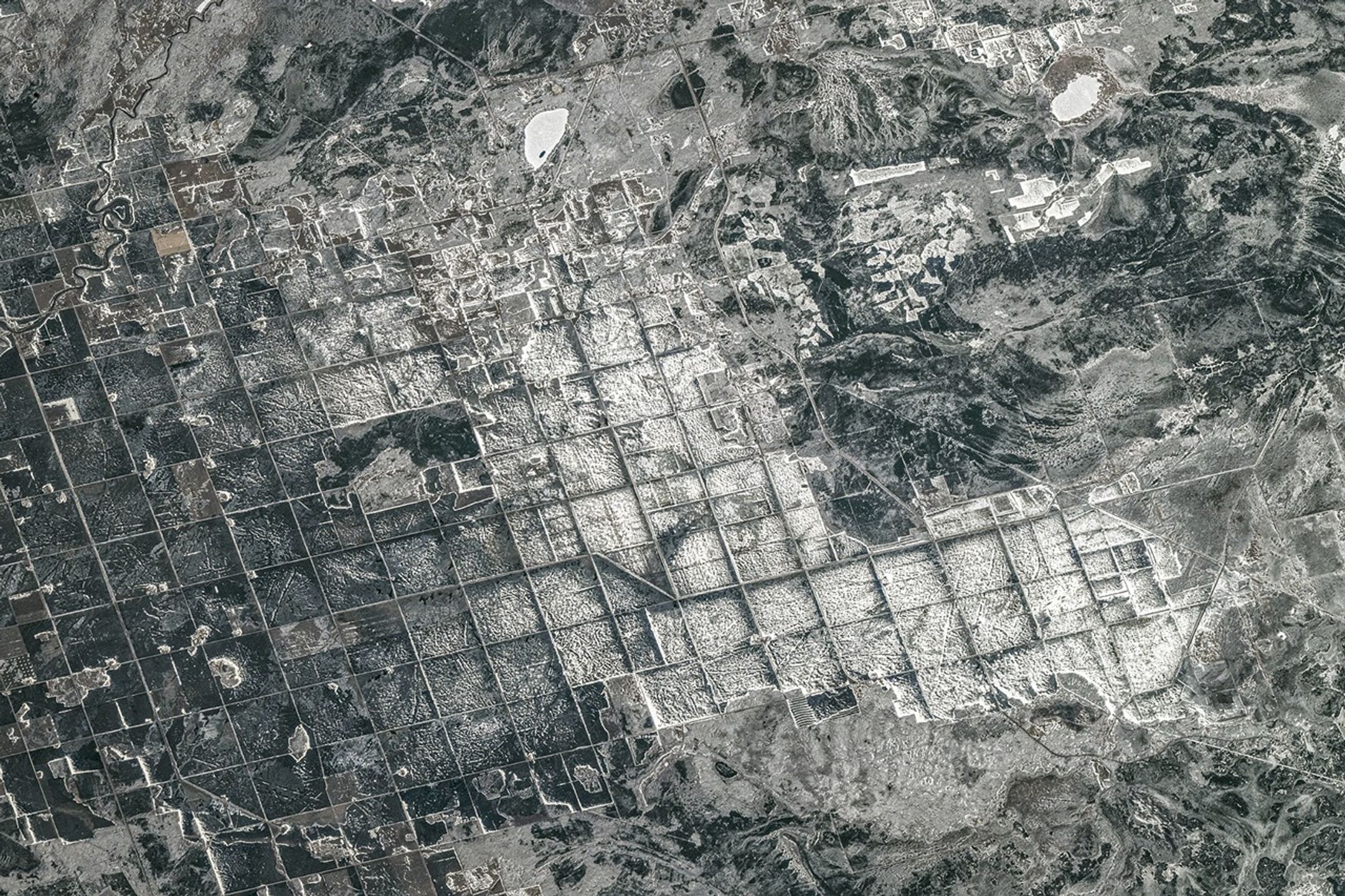
Every month, NASA Earth Observatory features a puzzling satellite image. The April 2026 puzzler appears above.
Your Challenge
Identify the location shown in this satellite image. Share what clues you see, where you think it is, and what makes this place interesting or unique to you.
How to Answer
Submit your response using this form and select “Puzzler Answer” as the topic. Please include your preferred name or alias.
You can keep it simple and just guess the location. Want to impress us? Tell us which satellite and instrument captured the image, which spectral bands were used, or point out a subtle detail about the geology or history of the area. If something catches your eye, or if this is your home or means something to you, we’d love to hear about it.
The Prize
We can’t offer prize money or a trip to space to see Earth like satellites and astronauts do. But we can offer something almost as rewarding: puzzler bragging rights.
About a week after the challenge, we’ll post the answer at the top of this page, along with a link to an Earth Observatory Image of the Day story that explains the image in more detail. We’ll recognize the first person who correctly guesses the location, and we may also highlight readers who share especially thoughtful or interesting answers. By submitting a response, you acknowledge that your comments may be edited, excerpted, and published on this page.
Until then, zoom in, look closely, and enjoy the challenge. See you at the reveal!