















February 6, 2014
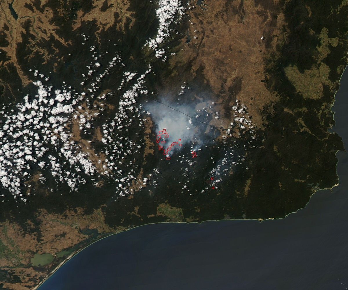
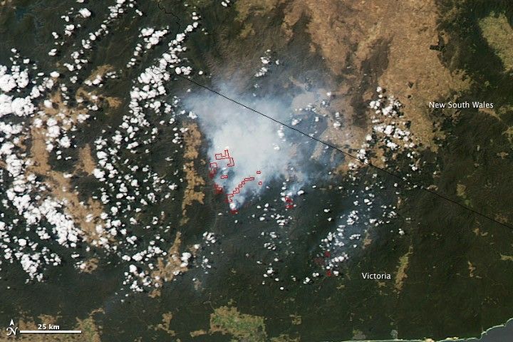
Several large fires burned in southeastern Victoria, Australia, when the Moderate Resolution Imaging Spectroradiometer (MODIS) on NASA’s Aqua satellite acquired this image on February 6, 2013. The largest, the Mt. Gelantipy-Musk Creek fire, has burned 6,222 hectares as of February 7 (local time). The out-of-control fire closed Snowy River National Park. The fires are outlined in red in this image.
References & Resources
- Country Fire Authority (2014, February 7) Warnings and incidents. Accessed February 6, 2014.
- VicEmergency (2014, February 7) Incidents and warnings. Accessed February 6, 2014.
NASA image courtesy Jeff Schmaltz, LANCE/EOSDIS MODIS Rapid Response Team at NASA GSFC. Caption by Holli Riebeek.