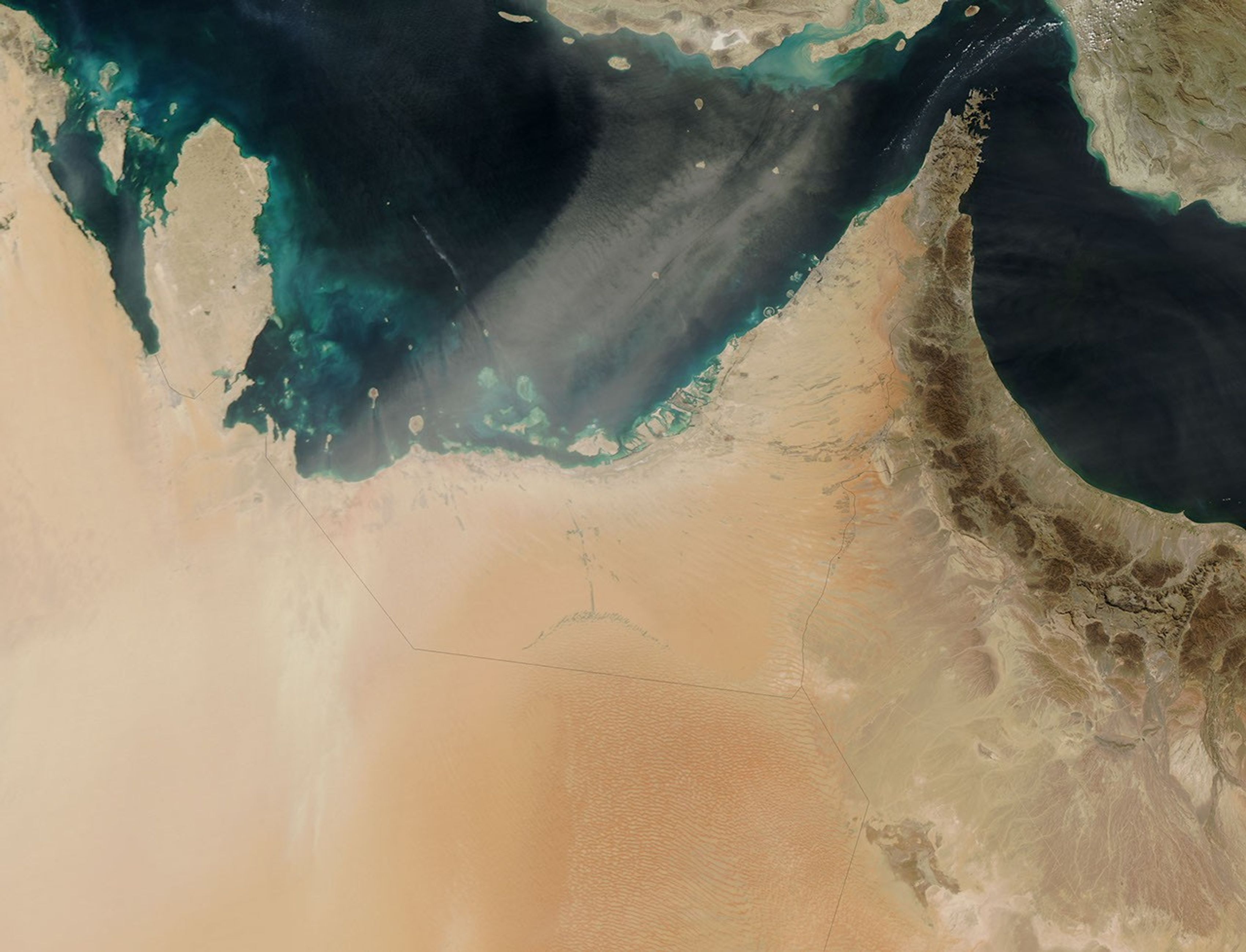
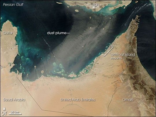
A dust storm from the Arabian Peninsula blew across the Persian Gulf toward Iran on February 17, 2007. The Moderate Resolution Imaging Spectroradiometer (MODIS) on NASA’s Aqua satellite took this picture the same day, capturing the pale beige plumes of dust blowing toward the northeast over the ocean. Also visible are blue-green patches in the ocean, likely resulting from sediment or shallow water. Along the coast of the United Arab Emirates, just barely out of the path of the dust, are artificial island resorts.
Along with northern Africa, the Arabian Peninsula is one of the world’s most dust-prone regions. A massive sand desert, Ar Rub’ al Khali, covers much of southern Saudi Arabia, northern Yemen and Oman, and the United Arab Emirates, providing ample material for dust storms.
References & Resources
NASA image by Jeff Schmaltz, MODIS Rapid Response Team, Goddard Space Flight Center.