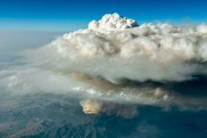


























In central Canada, wildfires were spreading thick smoke and forcing evacuations on June 28, 2006. Forest fires, many triggered by lightning, were burning in Alberta, Saskatchewan, and Manitoba when the Moderate Resolution Imaging Spectroradiometer (MODIS) on NASA’s Aqua satellite passed overhead and captured this image on June 27. Places where MODIS detected actively burning fire are marked in red.
Grayish smoke almost completely hides Lake Athabasca (upper left), which sits at the border of Alberta (far left) and Saskatchewan provinces. A veil of smoke also covers Reindeer Lake, at the Saskatchewan-Manitoba border. According to reports from Reuters news service, the smoke is the primary cause of evacuation orders for communities in Saskatchewan province. On June 26, MODIS observed smoke from the fires blowing southward several hundred kilometers, beyond Lake Winnipeg.
References & Resources
NASA image created by Jesse Allen, Earth Observatory, using data provided courtesy of the MODIS Rapid Response team.