


- June 28, 2004 (3.8 M)
- May 8, 2004 (2.9 M)
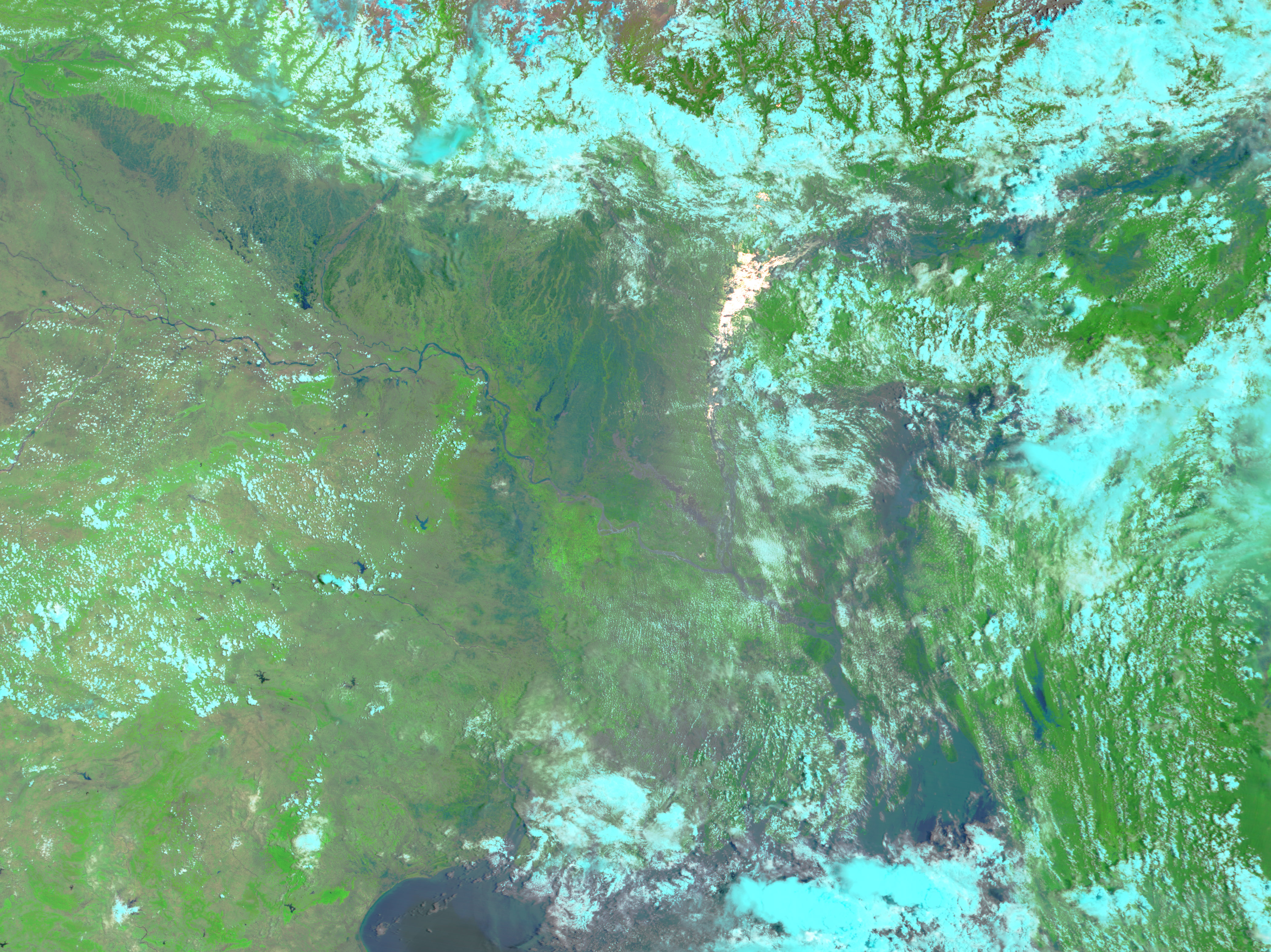
Intense monsoon rains beginning in mid-June combined with melting snow running out of the Himalaya Mountains to trigger extensive flooding across Bangladesh and northeastern India at the end of June and beginning of July 2004. This Moderate Resolution Imaging Spectroradiometer (MODIS) image, acquired on June 28 by the Terra satellite, shows just how widespread the floods are. The image includes an area that is about 2000 kilometers wide, and dark blue water, not present in an image taken on May 8 during the dry season, covers much of the scene. In this false-color image pair, water is dark blue, vegetation is bright green, and clouds are light blue. Bare earth is tan. In the flood image, the sun is reflecting off the surface of the water, creating a bright white patch near the center of the image. As of July 10, 55 people had died in the floods in northeastern India, and hundreds of thousands more have been affected. In Bangladesh, high waters stranded nearly half a million people, according to news reports.
References & Resources
NASA image courtesy Jesse Allen, based on data from the MODIS Rapid Response Team at Goddard Space Flight Center.


