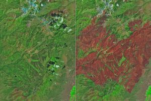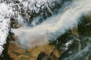

Not every fire is a disaster. The plumes of smoke billowing into the sky represent the greatest danger the Honey Prairie Fire posed on May 8, 2011, when the Landsat-7 satellite captured this image. The fire was burning primarily scrub and brush in the Okefenokee Swamp in southern Georgia, clearing the land for fresh prairie grass. Because fire restores the prairie ecosystem, fire managers in the Okefenokee National Wildlife Refuge allowed the fire to burn. Fire fighters worked to preserve structures and keep the fire within the refuge rather than contain the flames.
Lightning started the fire on April 28, and by 6 p.m. on May 8, about 61,822 acres had burned. The charcoal-black burned land is surrounded by lush, green cyprus forest and prairie. In 2011, drought primed the swamp for fire. Officials at the Okefenokee National Wildlife Refuge expect the fire to burn until heavy rains put it out.
References & Resources
- Okefenokee National Wildlife Refuge. (2011, April 30). Drought delivers first Okefenokee Swamp fire of 2011. U.S. Fish and Wildlife Service. Accessed May 9, 2011.
- Okefenokee National Wildlife Refuge. (2010, April 7). Wildland Fire. U.S. Fish and Wildlife Service.
- Unified Command—Okefenokee National Wildlife Refuge and Georgia Forestry Commission. (2011, May 8). Honey Prairie Fire expands to the east and north. Accessed May 9, 2011.
- Unified Command—Okefenokee National Wildlife Refuge and Georgia Forestry Commission. (2011, May 8). Location of Honey Prairie Fire 8 May 2011. Accessed May 9, 2011.
NASA Earth Observatory image created by Jesse Allen and Robert Simmon, using Landsat data provided by the United States Geological Survey. Caption by Holli Riebeek.