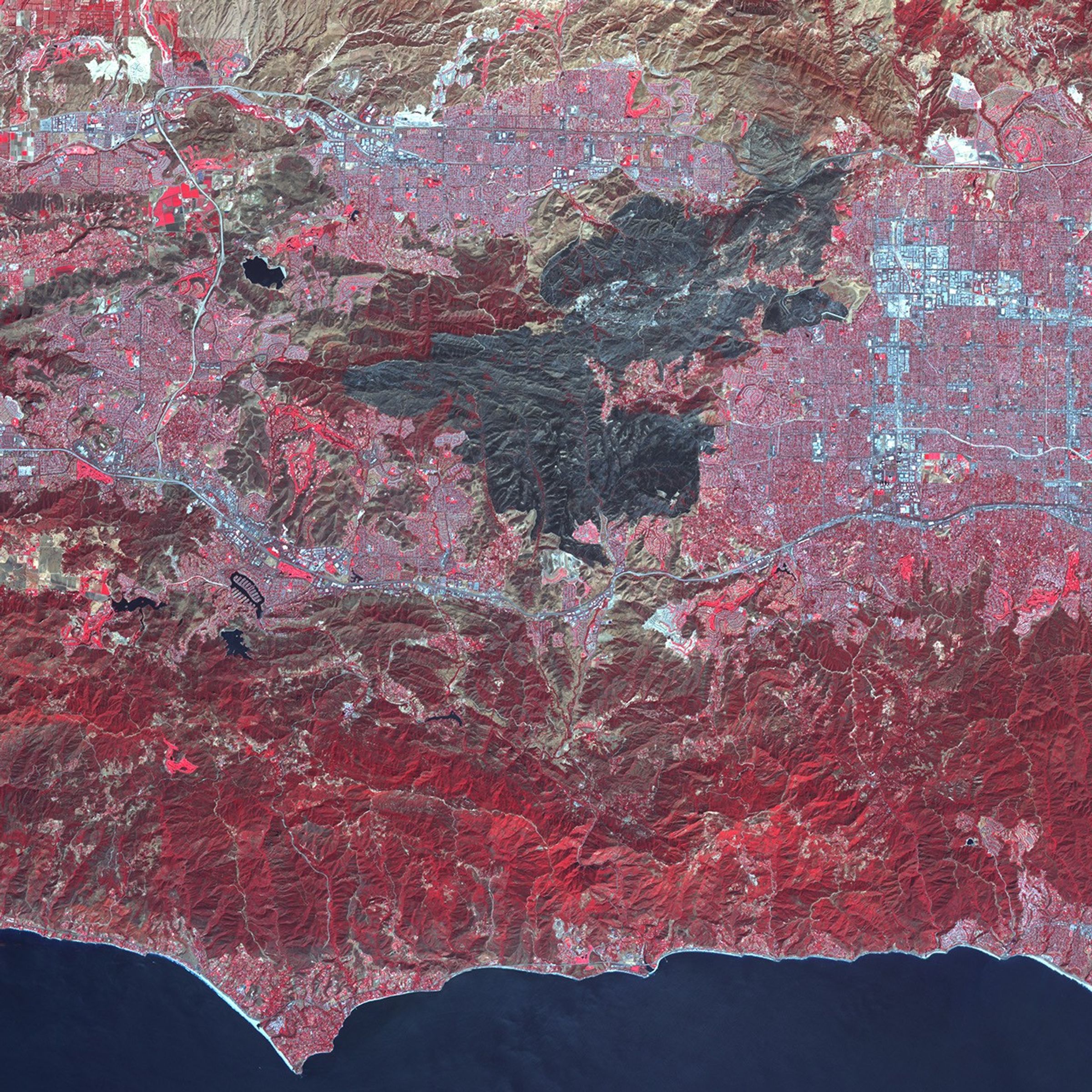
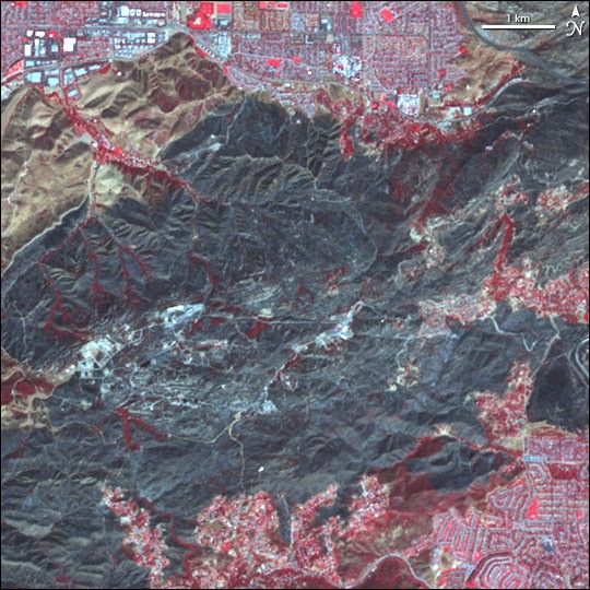
A charcoal-colored burn scar sprawls across the mountainous terrain northwest of Los Angeles, California, in this infrared-enhanced satellite image collected by the Advanced Spaceborne Thermal Emission and Reflection Radiometer (ASTER) on NASA’s Terra satellite on October 4, 2005. The image makes it clear how close the fire came to cities and towns including Simi Valley near the northern edge and Thousand Oaks at the southwestern edge. The fire burned down a ridge that separates two more developed areas. Within the burned area, some pockets of vegetation (which appears red in this kind of image), have been spared. The large image shows the entire burned area, which, according to reports from the National Interagency Fire Center, exceeded 24,000 acres.
References & Resources
NASA image created from data provided courtesy of NASA/GSFC/MITI/ERSDAC/JAROS, and U.S./Japan ASTER Science Team