FORTE
Frontlines Of Rapidly Transforming Ecosystems
Background
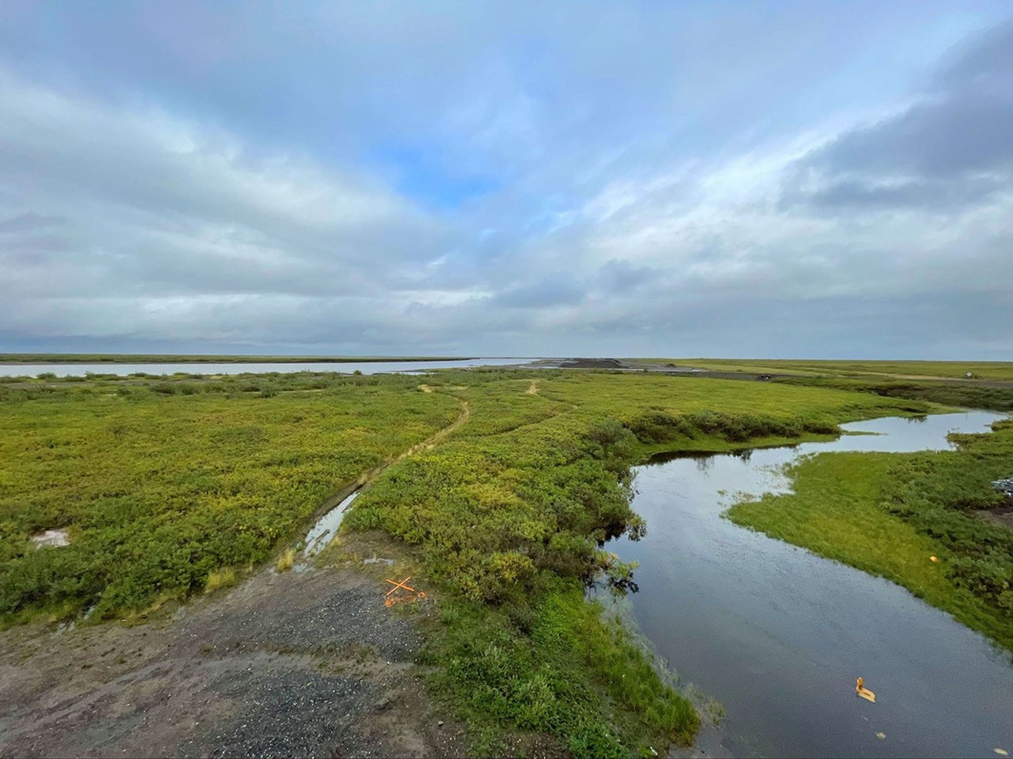
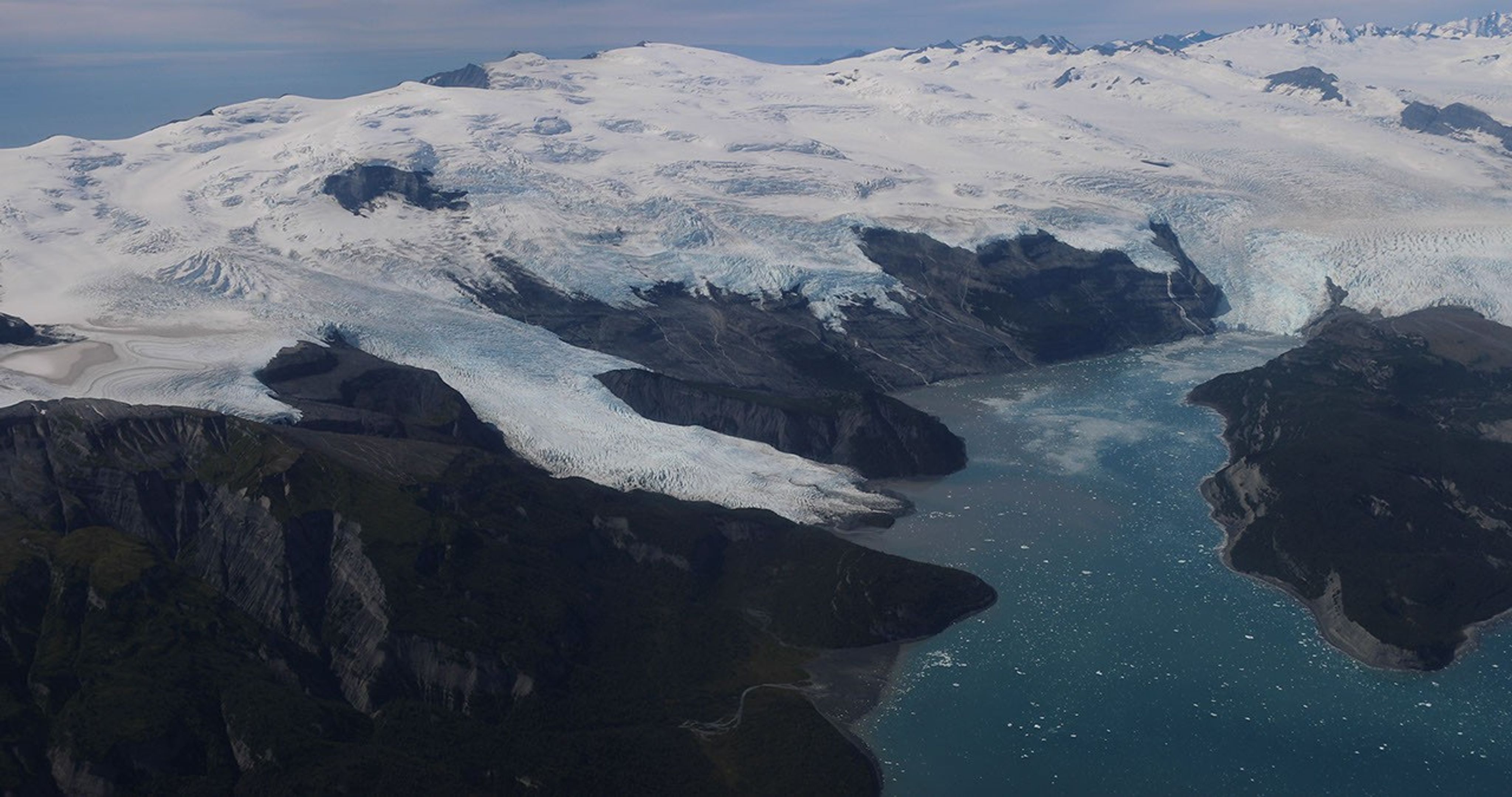
Coastal Arctic ecosystems undergo dramatic transformations in the late spring and early summer. Snowmelt washes down rivers, which carry nutrients, sediments and freshwater to the ocean. The frozen ground begins to thaw, and the sea ice that enclosed shorelines melts away. As the Arctic gets warmer, wetter, and faces more weather extremes, these interactions between land, ice and ocean are changing in ways that are difficult to predict yet have important local and global implications.
Research questions
The FORTE mission is designed to gather comprehensive, high-resolution data on hydrology, biogeochemistry, and ecology. The team will study river plumes, eroding coastlines, water quality, and carbon sources and sinks. Scientists will measure how freshwater, carbon and nutrients flow into the ocean, and then monitor the response of marine phytoplankton that sustain the ocean’s food web.
These data will address two overarching questions:
- How do nearshore Arctic ecosystems respond to intensifying river flows, permafrost thawing, coastal erosion, and changing nutrient and sediment fluxes?
- What are the implications for local marine resources, coastal communities and industries, as well as larger scale ocean processes?
Science in Action
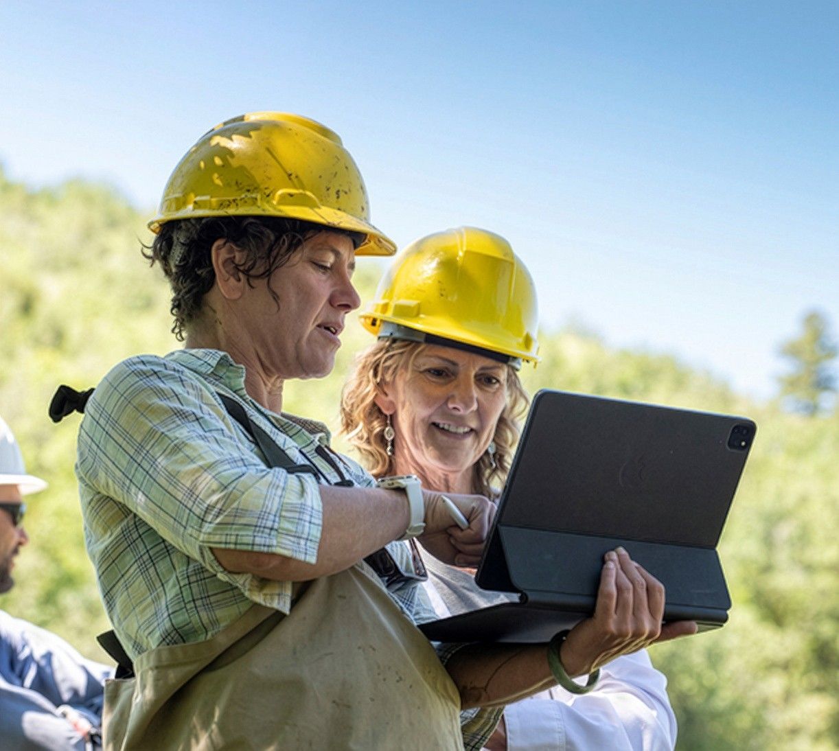
Based in Alaska’s North Slope, FORTE researchers will gather data on water quality, river flow, land and sea surface temperatures, salinity, coastal erosion, permafrost and more from crewed and uncrewed aircraft. Scientists on research vessels and small boats will sample river deltas and the nearshore ocean waters, and set up data-collecting moorings and buoys. If conditions are too hazardous for boats, scientists will use helicopters to take water samples.
While NASA and partner scientists will be out in the field for four deployments during the spring and summer of 2027 and 2028, they’ll also work with local community members to collect data year-round.
When combined with satellite data on ocean color, land cover and more, this suite of observations will provide a comprehensive overview of the region's complex dynamics and will deliver improved forecasts for the future.
Explore other EVS-4 Campaigns
The EVS-4 missions: FARMFLUX | FORTE | HAMAQ | INSPYRE | LACCE | SNOW4FLOW