HAMAQ
Hemispheric Airborne Measurements of Air Quality
Background
In 2028, HAMAQ will conduct two deployments: one over Mexico City in the spring and another over Atlanta in summer. These contrasting environments serve as ideal testing grounds for strengthening satellite‑to‑ground connections and improving air‑quality models.
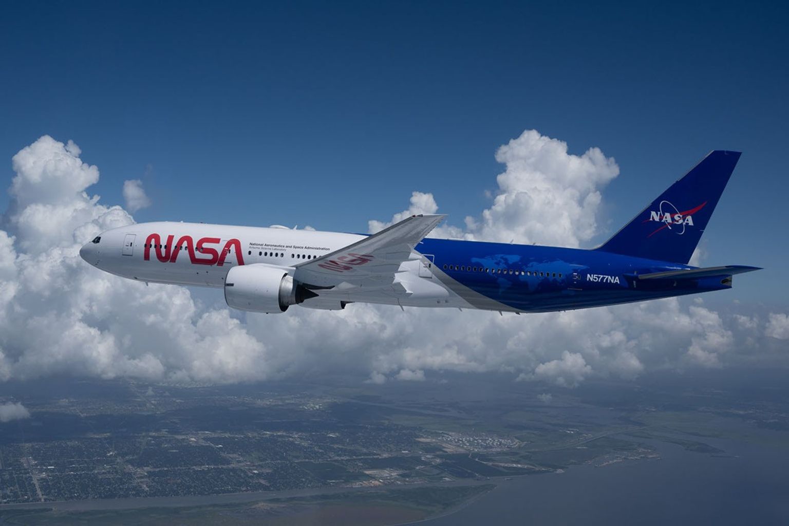
The mission will use two coordinated NASA aircraft. NASA's B777 will map pollution from above with remote‑sensing instruments, while the P‑3 will fly closer to the surface to measure aerosols, gases, and boundary‑layer structure. Combined with satellite data from TEMPO (Tropospheric Emissions: Monitoring of Pollution) and ground observations, these measurements are designed to support more accurate air quality insights.
Research Questions
The campaign's multi-platform observing strategy is designed to address several key questions:
- How can airborne observations strengthen the link between satellite pollution measurements and ground-based monitoring networks?
- How accurately can satellites represent pollution sources, timing, and chemical transformations in large urban areas?
- What environmental and human factors most strongly impact air quality across diverse urban environments?
- How can enhanced airborne–satellite–surface integration help improve air quality and guide local decision-making?
Science in Action
The campaign's integrated observing system combines satellite, airborne, and ground assets to provide a comprehensive view of air quality. Remote sensing from NASA’s B777 aircraft will map trace gases like nitrogen dioxide and formaldehyde at a high resolution, supporting geostationary satellite observations and validating TEMPO products. Instruments attached to NASA’s P‑3 aircraft will measure fine particles, chemical components, and aerosols by flying low‑level patterns above Mexico City and Atlanta.
The campaign will also contribute to the Atmospheric Composition Virtual Constellation, an international coordination effort led through the Committee on Earth Observation Satellites. This effort brings together atmospheric-composition observations from multiple space agencies and satellite missions to function as a unified system advancing global consistency in air quality measurements. HAMAQ’s atmospheric measurements will refine air‑quality models and scenario testing. Together, these efforts will provide new insights into emissions, atmospheric chemistry, and pollution transport to better support air‑quality management.

Explore other EVS-4 Campaigns
The EVS-4 missions: FARMFLUX | FORTE | HAMAQ | INSPYRE | LACCE | SNOW4FLOW