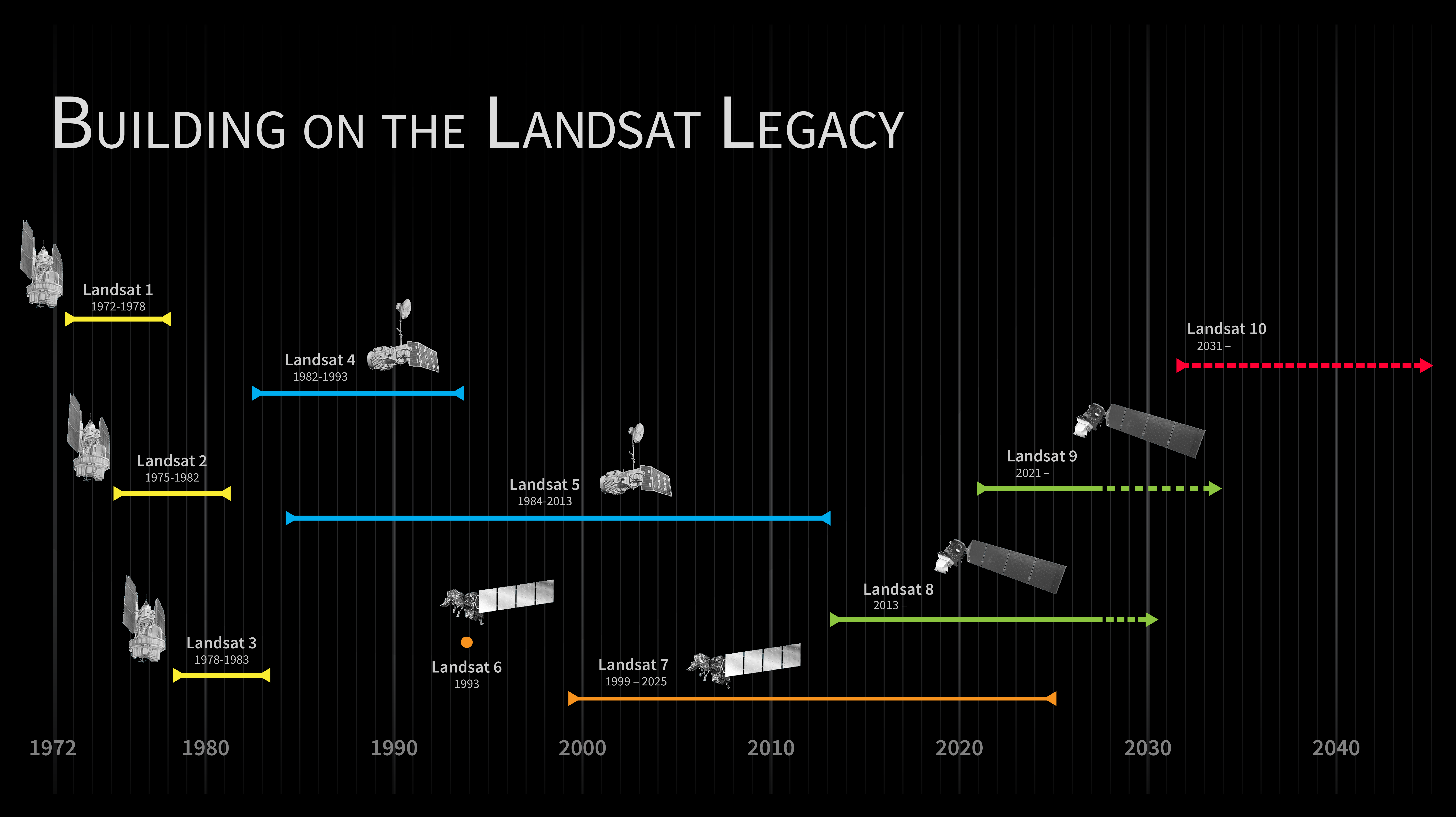
The Landsat 10 Spacecraft Draft Request for Proposal (DRFP) is available for review via SAM.gov as of May 18, 2026. This solicitation marks a major milestone in continuing the decades-long partnership between NASA and the U.S. Geological Survey (USGS) to acquire, archive, and distribute multispectral imagery of Earth’s global landmasses and coastal regions.
Potential offerors may comment on all aspects of the draft solicitation by June 2, 2026. The final Request for Proposal (RFP) is currently expected to be released at the end of June 2026, with proposals due roughly 30 days thereafter.
The scope of work includes the end-to-end design and fabrication of the satellite bus, comprehensive observatory-level performance testing, development of high-fidelity simulators, launch vehicle integration support, and post-launch on-orbit commissioning. Beyond building the bus, the contractor will lead the mechanical and electrical integration of the government-furnished Landsat Instrument Suite (LandIS).
Recently re-architected as a single-observatory, Landsat 10 will fly in a 653-kilometer sun-synchronous, near-polar orbit with a repeating ground track every 18 days. Key technical specifications of this Class C mission require the spacecraft to support a maximum launch mass of 4,000 kilograms, feature advanced onboard autonomy and fault management, and ensure a minimum 5-year design life plus commissioning. Landsat 10 operations will ultimately transition to the USGS following its on-orbit checkout.
Landsat 10 provides improvements in both spectral and spatial capabilities compared to its predecessor missions, Landsats 8 and 9, all while guaranteeing critical data continuity with the legacy archive at the USGS Earth Resources Observation and Science (EROS) Center. The mission will ensure that researchers, resource managers, and policymakers worldwide continue to receive consistent, freely available data to monitor natural and human-induced environmental changes for years to come.