

October 2-November 3, 2023
Flooding in Tuscany
A powerful storm unleashed damaging winds and torrential rain across much of Western Europe in early November 2023. The Tuscany region of Italy was one of the hardest hit areas, where the storm caused widespread flooding visible in satellite images.
Before reaching Italy, the low-pressure storm (named Ciarán by the U.K. Met Office) whipped across Spain, Portugal, the U.K., and France on November 1–2. It delivered hurricane-force wind gusts of up to 164 kilometers (102 miles) per hour in Jersey, an island in the English Channel, and up to 193 kilometers (120 miles) per hour in Brittany, a peninsula on the northwest coast of France.
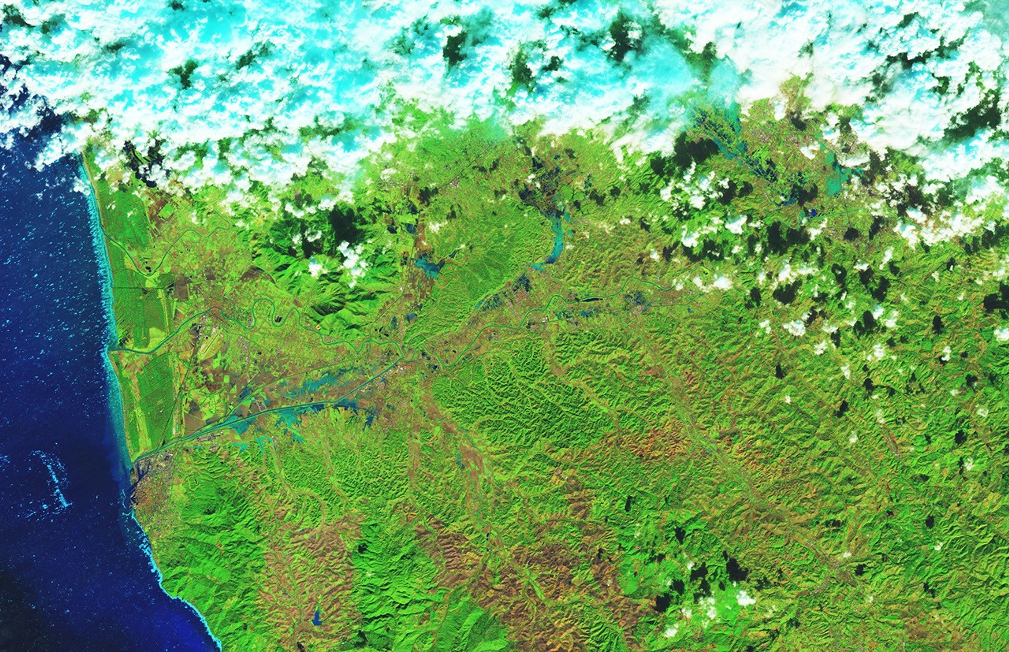
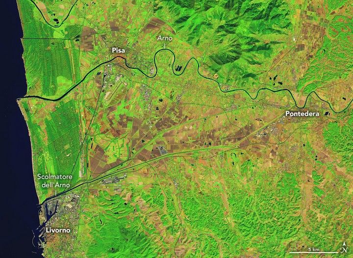
Next, the storm moved over the Tuscany region of Italy on November 2–3. The images above show water overtopping the Scolmatore dell‘Arno (the Arno floodway) and flooding agricultural fields near the coastal town of Livorno, 75 kilometers (47 miles) west of Florence. The images were acquired by the OLI (Operational Land Imager) sensor on Landsat 8 on October 2 (left) and November 3 (right). These images are false-color, such that water appears blue, vegetation is green, and bare ground is brown.
Meteorological stations from Livorno to Florence recorded high levels of rainfall between November 2 and November 3. Some locations saw over 200 millimeters (8 inches) of rain in a 24-hour period, with much of that falling in just a few hours on the evening of November 2. A weather station at Pontedera recorded nearly 200 millimeters of rain in four hours on that day, which is more than Tuscany typically receives in the month of November.
October 2-November 3, 2023MPEG
The rain turned streets into torrents, washed away cars, flooded hospitals, and spurred multiple landslides, according to news reports. Train services between Florence and Milan were suspended and roughly 48,000 people were left without power. The swollen Ombrone River (Torrente Ombrone) flooded parts of Florence, visible in the image above (left), acquired on November 3 with the OLI on Landsat 8. For comparison, the right image shows the same area on October 2.
Preliminary satellite-based estimates by the Copernicus Emergency Management Service indicate that some 3,400 hectares of farm fields and built-up areas across Tuscany could have been flooded.
Meteorologists noted that the storm was significant both in terms of its rate of development into a “bomb cyclone” in the Atlantic, and the depth of its low-pressure center. The cyclone broke records for being the lowest pressure storm in the month of November to hit England and Wales, according to the U.K. Met Office.
References & Resources
- Al Jazeera (2023, November 4) At least six dead in Italy as heavy rain, high winds sweep Europe. Accessed November 7, 2023.
- The Associated Press (2023, November 3) Storm Ciarán brings record rainfall to Italy with at least 6 killed. European death toll rises to 14. Accessed November 7, 2023.
- BBC (2023, November 3) Tuscany storm and floods ravage central Italy leaving six dead. Accessed November 7, 2023.
- The Conversation (2023, November 3) Why Storm Ciarán’s winds were so strong. Accessed November 7, 2023.
- Copernicus Emergency Management Service (2023, November 7) Flood in Tuscany region, Italy. Accessed November 7, 2023.
- FloodList (2023) Italy — State of Emergency After Storm Triggers Deadly Floods in Tuscany. Accessed November 7, 2023.
- U.K. Met Office, via X (2023, November 2) Storm Ciarán has set a new record for the lowest mean sea level pressure recorded in England and Wales in November. Accessed November 7, 2023.
NASA Earth Observatory images by Lauren Dauphin, using Landsat data from the U.S. Geological Survey . Story by Emily Cassidy .