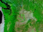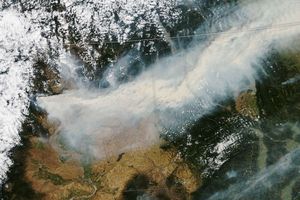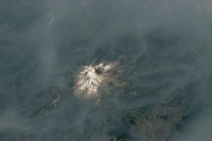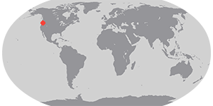

More than 139,000 acres had been burned by the Tripod Complex Fire in northern Washington as of August 28, 2006, according to reports from the National Interagency Fire Center. This image of the fire was collected by the Moderate Resolution Imaging Spectroradiometer (MODIS) on NASA’s Aqua satellite on August 27, 2006. Although most of the images of the fire in this series have been photo-like, natural-color images, this scene has been enhanced with MODIS’ observations of short-wave and near-infrared light. In this type of image, burned areas appear deep red, vegetation appears bright green, and water appears dark blue or nearly black. Active fire locations that MODIS detected are outlined in red. The bright pink glow inside some of the fire perimeters may indicate open flame.
The high-resolution image provided above has a spatial resolution of 250 meters per pixel. The MODIS Rapid Response System provides twice-daily images of the entire western United States at additional resolutions.
References & Resources
NASA image courtesy the MODIS Rapid Response Team, Goddard Space Flight Center