
























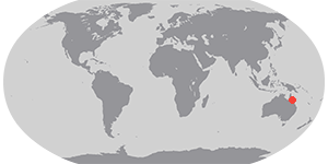

Only a thin perimeter of tropical forest lines the coasts of Queensland’s Cape York Peninsula. The remainder of the peninsula is tropical savanna, a mixture of grasslands and shrubs and small trees. This landscape is prone to fire, and both traditional Aboriginal land owners and modern farmers and ranchers use fire to maintain the landscape. When the Moderate Resolution Imaging Spectroradiometer (MODIS) on NASA’s Aqua satellite passed overhead on November 15, 2006, the sensor detected numerous large fires (marked in red) burning across the peninsula. Places where the savannas have recently burned are deep brown, compared to the tan color of the unburned savanna. Tropical forests are deep green. Over the Gulf of Carpentaria, skies are hazy, which may be a mixture of smoke and thin clouds.
The high-resolution image provided above has a spatial resolution of 250 meters per pixel. The MODIS Rapid Response Team provides twice-daily images of the area in a variety of resolutions and formats, via a clickable map.
References & Resources
NASA image courtesy the MODIS Rapid Response Team, Goddard Space Flight Center.







