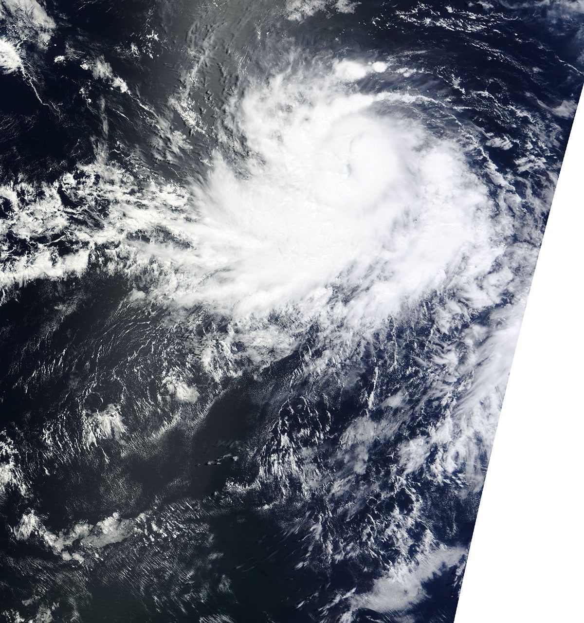


















After briefly weakening, Hurricane Celia re-strengthened to a Category 2 hurricane on June 23, 2010, the U.S. National Hurricane Center (NHC) reported. At 8:00 a.m. Pacific Daylight Time (15:00 UTC) on June 23, Celia was located roughly 740 miles (1,190 kilometers) south of the southern tip of Baja California. The storm had maximum sustained winds of 100 miles (160 kilometers) per hour with higher gusts. Because the storm was headed away from land, however, no coastal watches or warnings were in effect.
The Moderate Resolution Imaging Spectroradiometer (MODIS) on NASA’s Terra satellite captured this true-color image of Celia on June 22, 2010. Though not distinct, a faint eye does appear near the center of the hurricane.
References & Resources
- National Hurricane Center. (2010, June 23). Hurricane Celia Public Advisory. Accessed June 23, 2010.
NASA image courtesy MODIS Rapid Response Team at NASA GSFC. Caption by Michon Scott.