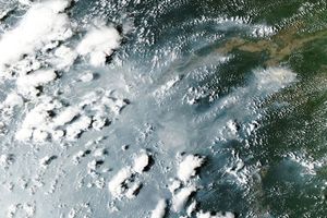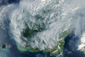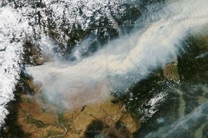

Across the southwestern Amazon Basin, fires were burning in both Bolivia and Brazil when the Moderate Resolution Imaging Spectroradiometer (MODIS) on NASA’s Terra satellite passed overhead on September 22, 2007. Over the course of the day, fire activity usually picks up, often creating so much smoke that little of the land surface is visible in images from satellites that pass over in the afternoon. This image, captured at 10:25 a.m. local time, shows the widespread deforestation of the Amazon in the area. Because people use fire to clear and manage agricultural land, it is not uncommon for fires to escape control and burn accidentally into adjacent forest areas, causing degradation and heightening the risk of future fires. This unintentional burning has the potential to transform large areas of the southern Amazon from forest into savanna.
The large image provided above has a spatial resolution (level of detail) of 250 meters per pixel. The MODIS Rapid Response Team provides twice-daily images of the region in additional resolutions.
References & Resources
NASA image courtesy the MODIS Rapid Response Team, Goddard Space Flight Center