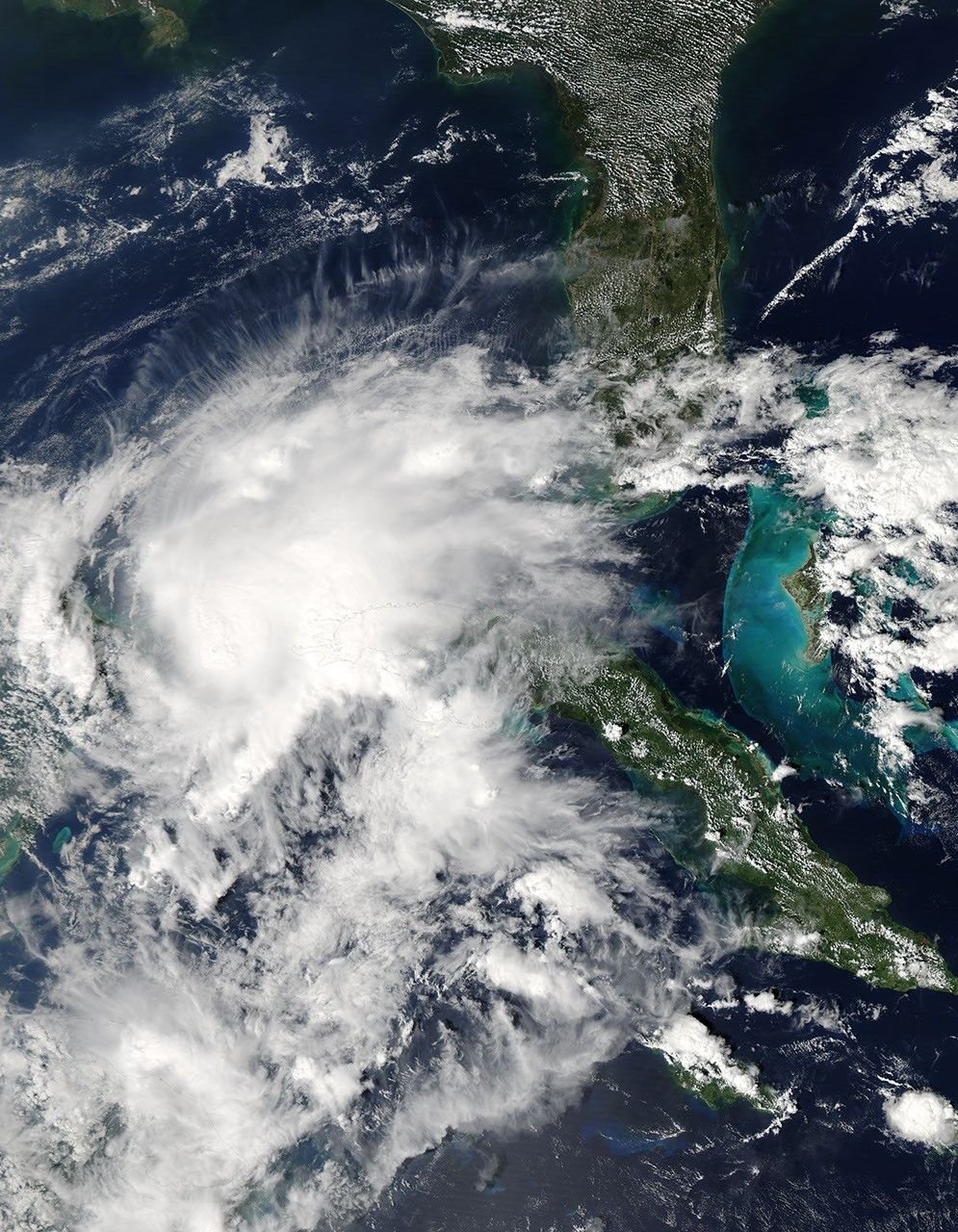
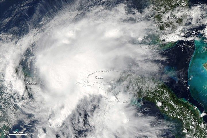
Hurricane Paula had been traveling in a northwesterly direction on October 13, 2010, when the storm briefly ground to a halt between Mexico and Cuba. At 1:00 p.m. Central Daylight Time (CDT), the U.S. National Hurricane Center (NHC) reported that Paula was stationary some 55 miles (90 kilometers) west-southwest of the western tip of Cuba. Still a Category 2 hurricane with winds of 100 miles (160 kilometers) per hour, Paula was expected to begin traveling toward the north-northeast.
The Moderate Resolution Imaging Spectroradiometer (MODIS) on NASA’s Aqua satellite captured this natural-color image of Hurricane Paula at 1:35 p.m. CDT (18:35 UTC) on October 13, 2010. Lacking the discernible eye it sported the day before, the storm nevertheless remains a solid cloud mass with the comma shape typical of cyclones. In the northeast, storm clouds reach southern Florida.
References & Resources
- National Hurricane Center. (2010, October 14). Hurricane Paula Advisory Archive. Accessed October 14, 2010.
NASA image by Jeff Schmaltz, MODIS Rapid Response Team at NASA GSFC. Caption by Michon Scott.