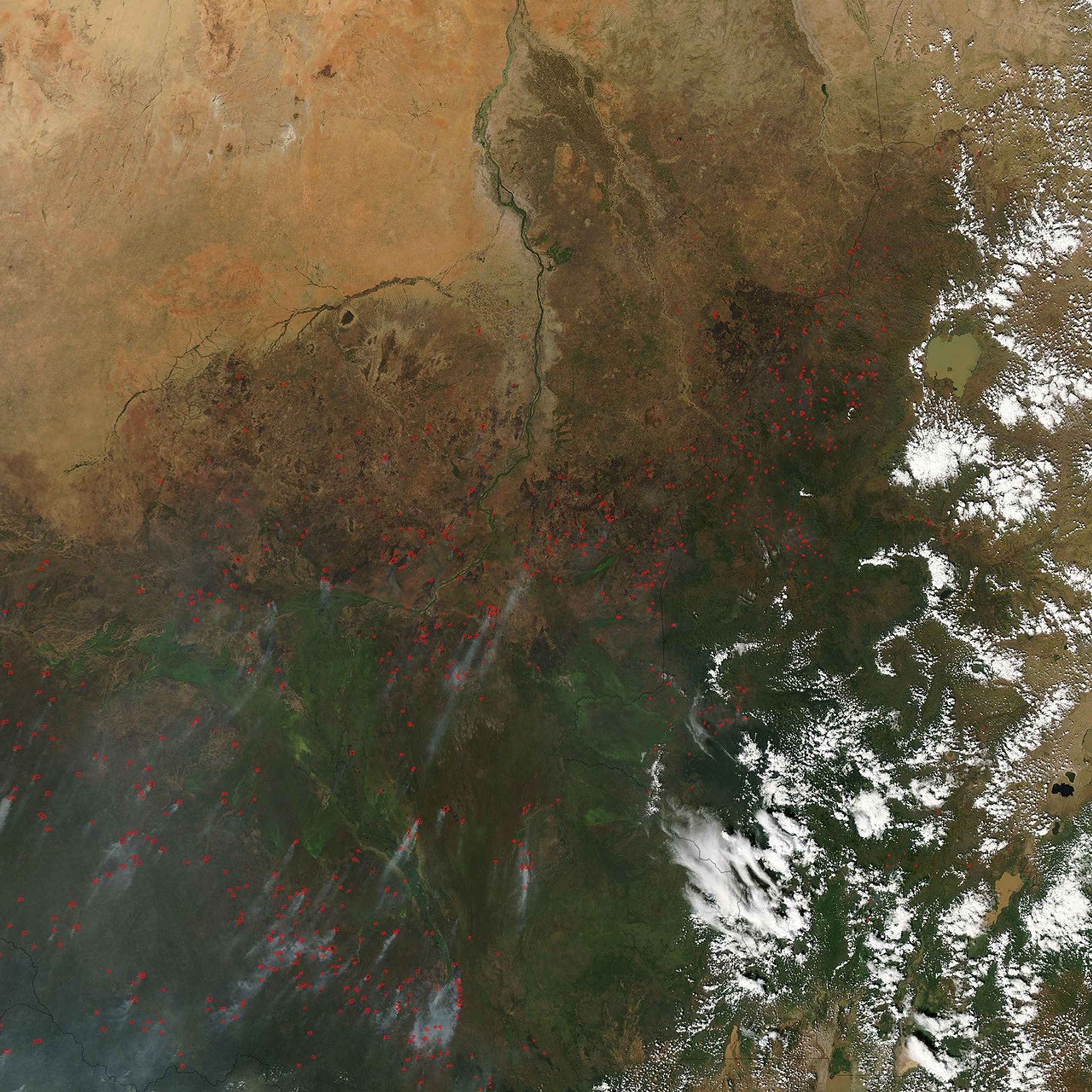



















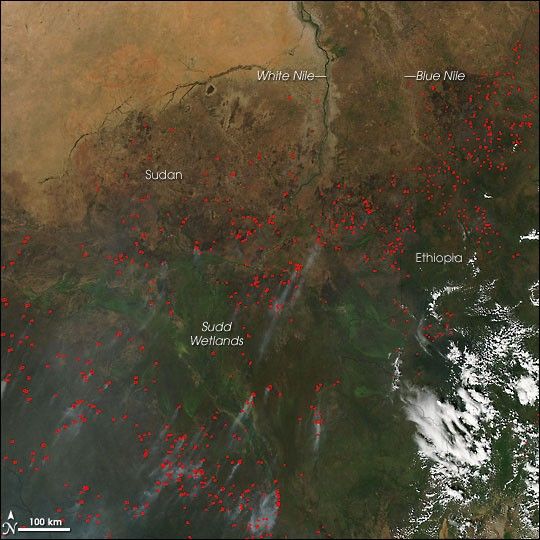
Scores of fires were burning in Sudan and Ethiopia on November 27, 2006, when the Moderate Resolution Imaging Spectroradiometer (MODIS) on NASA’s Aqua satellite passed overhead and captured this image. Places where MODIS detected actively burning fires are marked in red. Deep green vegetation dominates the bottom of the scene where the large Sudd Wetlands and other smaller marshy areas have enough water to flourish amid the region’s tropical savannas. Farther north, the vegetation transitions to sparser savanna, with grasses and scattered shrubs. This ecologically fragile region, known as the Sahel, is an intermediate zone between the wetter savannas and the Sahara Desert to the north. Agricultural fires are widespread in the region each year at this time. Although such fires are not necessarily immediately hazardous, they can have a strong influence on climate, human health, and natural resources.
The high-resolution image provided above has a spatial resolution of 500 meters per pixel. The MODIS Rapid Response System provides twice-daily images of northern Africa at additional resolutions via a clickable map.
References & Resources
NASA image courtesy the MODIS Rapid Response Team, Goddard Space Flight Center