























In Pursuit of Precision: Remembering John Barker
By Laura E.P. Rocchio

July 31, 2026
John L. Barker, a seminal force behind Landsat’s science-grade data, died on Monday, July 6, 2026. He was 88.
Barker was instrumental in transforming Landsat from a technology demonstration satellite that produced pictures of Earth into a well-understood science mission collecting images made from physically-based spectral measurements of Earth’s surface. The calibration standards relentlessly pursued by Barker have broadly informed NASA’s calibration criteria for land remote sensing.
Described as hard-working, gregarious, extremely sincere, and fun-loving, Barker was a “number chaser” known for his boundless energy, pursuit of precision, and love of data and dance.
Landing on Landsat
Barker trained as a nuclear- and cosmo-chemist at the University of Chicago’s Enrico Fermi Institute, where his doctoral research focused on the chemical history of cosmic matter in deep-sea sediments. He received his PhD in 1967 and began teaching at the University of Maryland College Park a year later. In 1969, Barker joined the Unitarian Universalist Church of Silver Spring. Doing volunteer work there, he met Charlie Schnetzler, Earth Resources Branch Chief at NASA’s Goddard Space Flight Center.
When a position became available at NASA Goddard, Schnetzler — who had long recognized Barker’s brilliance — encouraged him to apply. Barker got the position. He started working at Goddard in 1973, a year after Landsat 1 — the very first land Earth-observing satellite — was launched.
Barker soon became interested in doing environmental research with Landsat and started using the satellite data to monitor sediments in Swift Creek Lake near Richmond, Virginia. He also worked with famed oceanographer Jacques Cousteau and his son Philippe, participating in a proof-of-concept study that received, processed, and relayed Landsat satellite data collected off the coast of Mississippi to Cousteau’s research vessel, the Calypso, within 24 hours. As the Calypso plied the Gulf waters, Landsat satellite data was relayed to Cousteau’s crew to help them find plankton upwellings and sediment plumes. This near-real-time data processing, which took an extraordinary amount of effort at Goddard, was considered a computational feat at a time when it would typically take two months or more to get Landsat images to researchers.
During this effort, Barker and his data processing collaborators discovered that if the Landsat Multispectral Scanner System’s (MSS) green and red spectral data were collected in high-gain mode (a setting that amplified the sensor’s electrical signal), the higher sensitivity enabled bathymetric measurements to be made in areas where ocean waters were clear. The follow-on NASA-Cousteau Bathymetry Experiment pioneered the field of satellite-derived bathymetry.
With so much to discover, the energy and pace of work during Barker’s early years at Goddard was intense. Sixty-hour workweeks were the norm (until an energy-saving decision to turn large mainframe computers off at night cut back extensive working hours).
As Barker continued to use Landsat data for environmental studies, he realized that no one understood the performance of the MSS instruments or the calibration of the data very well. How well did the satellite data match physical measurements made on the ground? How stable were Landsat measurements over time?

“Much to my surprise, after many years of work on it, I found out that we really didn’t understand the calibration of the Landsat’s MSS systems very well at all,” Barker explained in a 2005 interview.
Barker, used to making exacting measurements in the world of chemistry, wanted to find out exactly how well-calibrated Landsat data was.
“I basically decided that, where I could make the biggest contribution — since I had a[Text Wrapping Break]background in physics, engineering, and chemistry… was in the characterization of the instrument,” Barker shared in 2005.
He spent the next three decades doing just that.
Knowing the Numbers
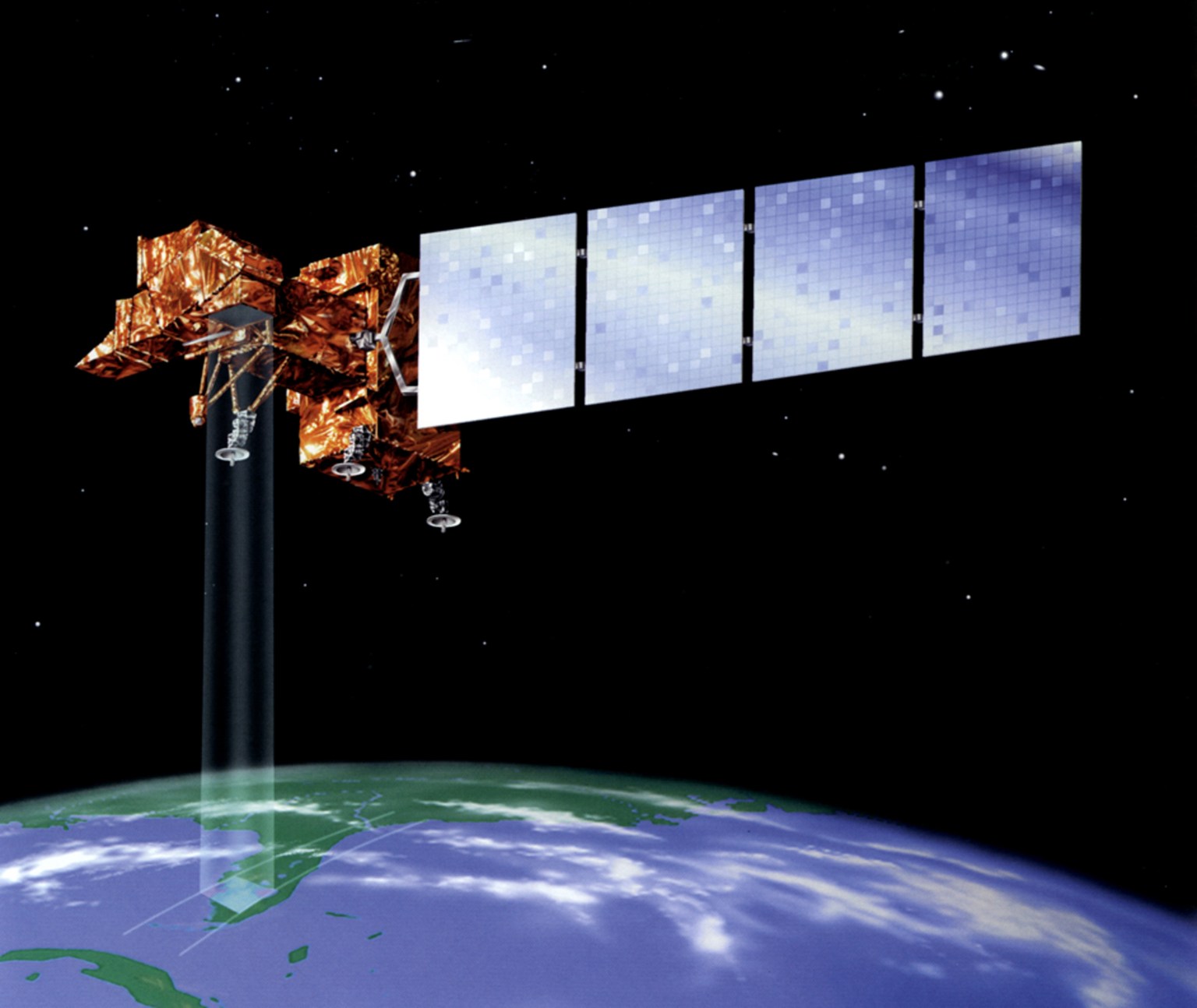
After digging into the calibration of the MSS sensors carried aboard the first three Landsat satellites as Landsat Associate Project Scientist, Barker became the point person for defining the calibration performance requirements of subsequent Landsat satellites. Specifically, he heavily influenced the design, characterization, and sustained calibration effort for Landsat’s 4, 5, and 7.
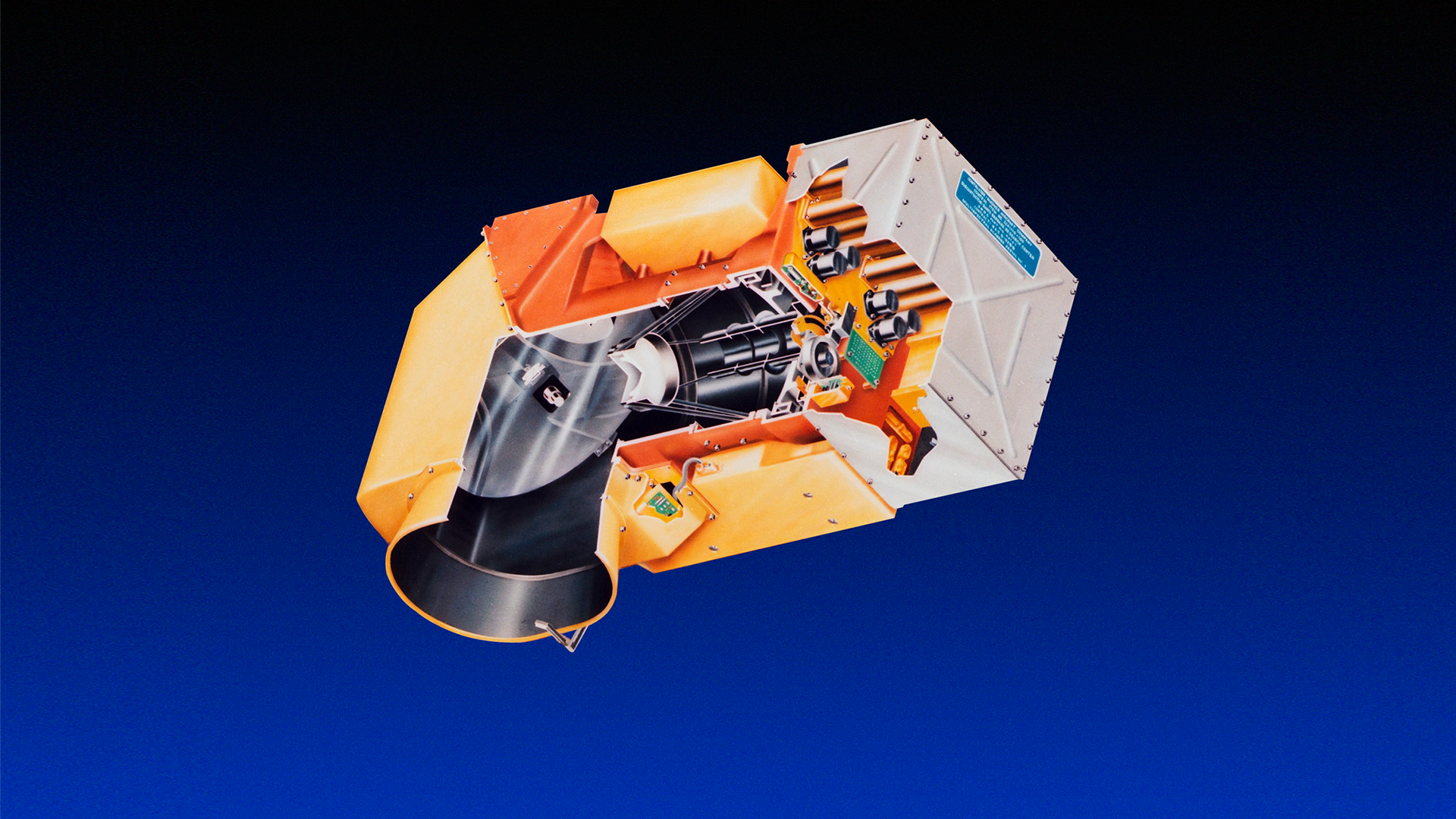
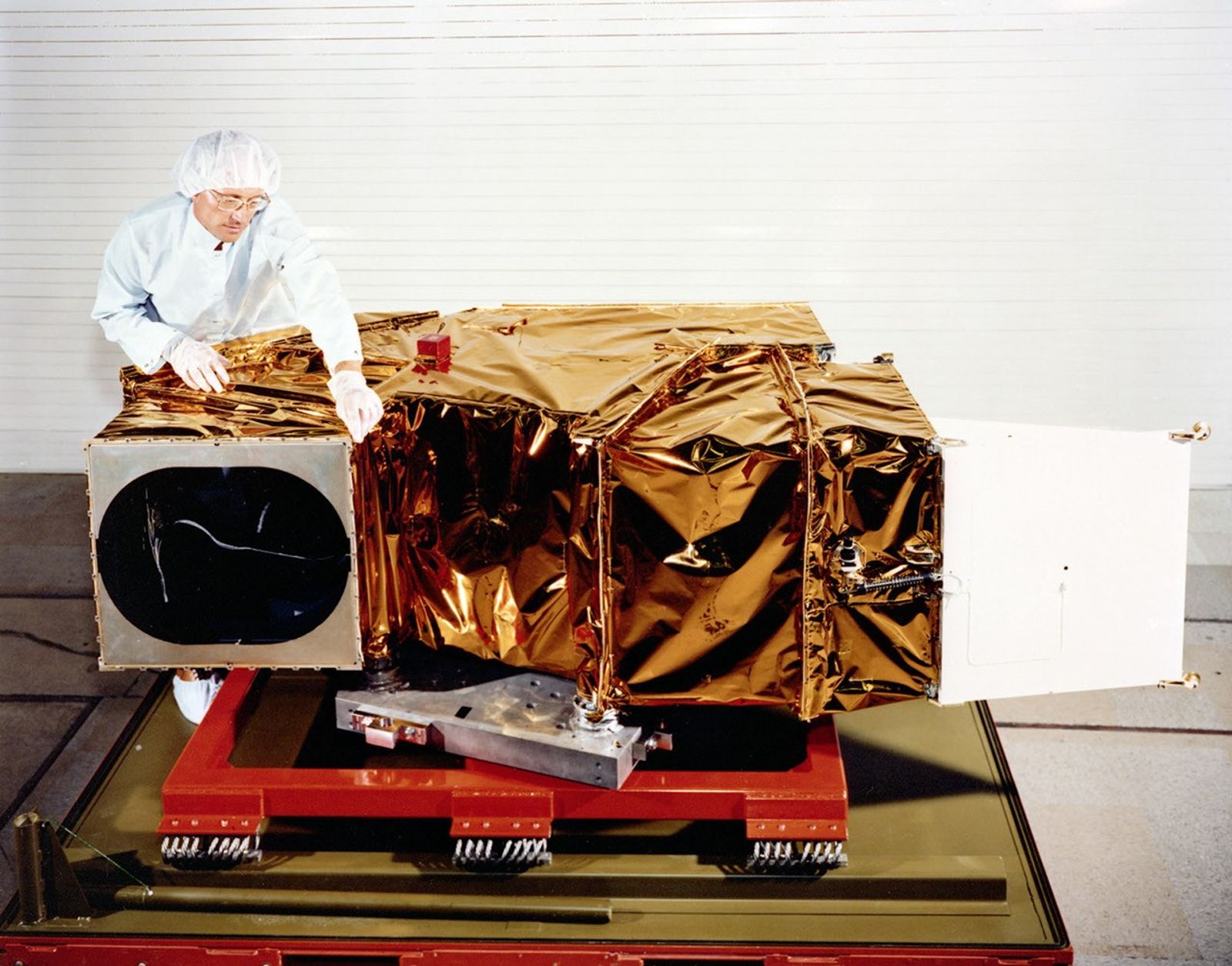
During the development and build of the MSS and Thematic Mapper (TM) instruments for Landsat 4 and 5, Barker spent long stretches of time with the Hughes Santa Barbara engineers doing the instrument build and testing. Despite a tremendously arduous and stressful development cycle for the next-generation Thematic Mapper instrument, what stood out to Barker most from that time was the teamwork and camaraderie between NASA and industry Landsat builders.
The “embedded NASA scientist” role that Barker initiated in the late 1970s is now a formal position written into the satellite contracts with every new Landsat build.
With Barker’s encouragement and then-Landsat Assistant Project Scientist Darrel Williams’ and Project Scientist Vince Salomonson’s endorsement, NASA Goddard made characterizing the performance of Landsat 4 and 5 a key mission objective.
Barker led this characterization effort, called the Landsat Image Data Quality Assessment, or LIDQA. The end-to-end Landsat infrastructure, from sensors to ground processing, was carefully scrutinized to ensure the best image data quality. The effort involved more than 400 external investigators working together with Barker’s Goddard-based team. Barker brought a young scientist named Brian Markham on board, and together they assembled what could be considered Barker’s opus: a six-volume NASA publication of Technical Memorandums that reported on the LIDQA assessments of Landsat 4 and 5. Barker meticulously documented the characterization work of his team in this publication. The printed volumes originally had thick orange covers, and were affectionately referred to as the “Orange Books.”
“He was certainly instrumental in taking the Landsat sensor data from the pretty picture for analog interpretation to scientific data for digital analyses,” Markham notes.
The calibration methodology established by Barker and the LIDQA team and documented in the Orange Books has been described as the “first quantitative documentation of the Landsat sensors and their data” and has widely influenced land remote sensing calibration.
As Williams shares, “John’s work vis-a-vis calibration had a tremendous impact on the wider remote sensing community, showing both what was needed and what was possible.”
Pursuit of Precision
Barker was only a peripheral presence during the build of the failed Landsat 6 commercial satellite, turning his attention to the calibration of NASA’s MODIS satellites. When government responsibility for Landsat 7 was restored, Barker, together with Markham, were back at it.
Barker had a singular focus on improving radiometric accuracy. His drive for data precision was insatiable. This was perhaps a combination of nature and nurture. His father John L. Barker, Sr. invented the radar speed gun, establishing a ±2 mph accuracy, which he had to defend in court.
Pre-PowerPoint, Barker would roll a carry-on suitcase full of viewgraphs to meetings. “No short and sweet chart sets for him!” recalls former Landsat Systems Engineer and close friend, Terry Arvidson.
Described as a perfectionist, Barker was always striving for 0.1% precision — or better.
“The last decimal point is exciting,” Barker exclaimed in a 2005 oral history interview.
The well-understood and consistent, 50-plus-year data record of Landsat is a result of Barker’s dogged pursuit of precision. But this trait could be both a strength and struggle for Barker. He rarely published his work in peer-reviewed journals because he always thought he could get better results. And his tenaciousness could be a challenge for managers who had to balance his insistence of excellence with the limits of agreed-upon satellite specifications and cost considerations.

Fortunately, Markham, who Barker had taken under his wing, was able to document and publish much of the work done during this period. A long list of Markham and Barker papers can be found in peer-reviewed literature.
Markham recalls Barker’s extraordinary energy and excitement and his need for little sleep, even recalling fondly Barker’s uncanny ability to start a long (90 minutes-plus!) calibration conversation just as the work day was ending.
There were two key lessons he learned from Barker: (1) a number without an uncertainty (±n) is almost meaningless and (2) always have three ways to measure something so you can check for agreement; this will help with the difficult goal of demonstrating accuracy.
“John was instrumental in creating the philosophy that Landsat was, first and foremost, a scientific instrument that collected calibrated data, not just pictures,” explains former Landsat 9 and Deputy Landsat 8 Project Scientist Jeff Masek.
“It's hard to separate his impact from Brian Markham's since they worked so closely together, but as a team, they always sought to improve the calibration of the on-orbit instruments and use that information to achieve a consistent radiometric record going straight back to 1972.”
Trailblazer and Mentor
Barker and Markham were instrumental in shaping the calibration methodology used by Landsat and most NASA land-observing satellites today. The use of desert test sites for vicarious calibration, data collection by newly launched satellites as they under-fly their predecessors during their climb into orbit, pre-launch calibration and testing requirements, multiple onboard calibration sources, spectral band-to-band comparisons across satellites, and the use of the Moon as a calibration target are all concepts Barker championed, adopted, and shared with fellow NASA, U.S. Geological Survey, and university collaborators. This multifaceted methodology is what creates Landsat’s robust scientific data set.
“We have a calibrated archive now primarily because of John’s seminal efforts to chase down every electron,” says Williams, a longtime Landsat 7 Project Scientist.
Barker’s influence also extended to every aspect of data integrity. He worked closely with instrument builders and the U.S. Geological Survey’s Landsat calibration team to set up verification processes that ensure satellite instrument data flows correctly from sensor to spacecraft to ground station to data user.
“He was passionate about Landsat and worked with all levels of the program to make sure we had the best satellite, instruments, data, and products possible,” states Masek.
During the days of Landsat 7, Barker and Masek worked closely to shape Barker’s calibration presentations into talks that could be grasped by non-calibration scientists. Along the way, Masek, who had formerly known little about calibration, developed a detailed and nuanced understanding of it.
“I didn’t feel talked down to, I felt like part of the process. He was a great mentor. He helped us all be the best we could be,” Masek recalls.
Barker’s mentorship extended from the technical to the interpersonal. Jim Irons, later to become Landsat 8 Project Scientist and the Director of the Earth Sciences Division at Goddard, recounts feeling genuinely consoled by thoughtful advice Barker gave him early in his career as he dealt with a difficult professor during his PhD studies.
Zeal for Calibration, Zest for Life
While Barker poured himself into his quest for quality data, it was not his only passion. For decades, he was the President of the Goddard Dance Club, a social ballroom dancing organization with nearly 200 members.
After his 2007 retirement from NASA, Barker could be found dancing 11 hours a week. When the pandemic temporarily shuttered the dancing facilities, Barker and his wife Noni continued to dance for nearly an hour a day at home.
He danced the samba in Brazil, rode camels in Egypt and Morocco.
“He was full of life, always had a smile, and had the best laugh ever,” Arvidson shares.
He loved a good argument and was rarely bitter or angry.
Masek sums it up this way: “John was a lovely guy.”
Barker was surrounded by Noni and his two children, Lauren and David, when he passed away in early July at the hospital where he was being treated after a fall.
His influence marches on. Jeff Pedelty, who Barker mentored on Landsat 7, became the embedded NASA scientist for the Landsat 8 and 9 builds and now supports Landsat 10. He has long kept a photograph of Barker on his desk, with a sticky note reminder: “All the data. All the time.”

Thank you to Darrel Williams, Jim Irons, Brian Markham, Jeff Pedelty, Terry Arvidson, and Jeff Masek for sharing their thoughts and memories about John.