



















LACCE
Landslide Change Characterization Experiment

Background
Thousands of landslides are actively sliding down hillslopes at any given moment on Earth. Some are fast moving, causing thousands of casualties and billions of dollars in damage each year. Others inch downhill almost imperceptibly, for months to years, even centuries. On occasion, slow-moving landslides have been known to accelerate catastrophically, especially after periods of heavy rainfall. Researchers will track these slow hazards and build computer models to simulate their mechanics.
Research questions
The LACCE team will focus on areas at risk of landslides in California and Alaska. Research objectives include:
- Measure the size, rate, and speed of active landslides across vastly different environments
- Determine how regional precipitation patterns impact slope stability
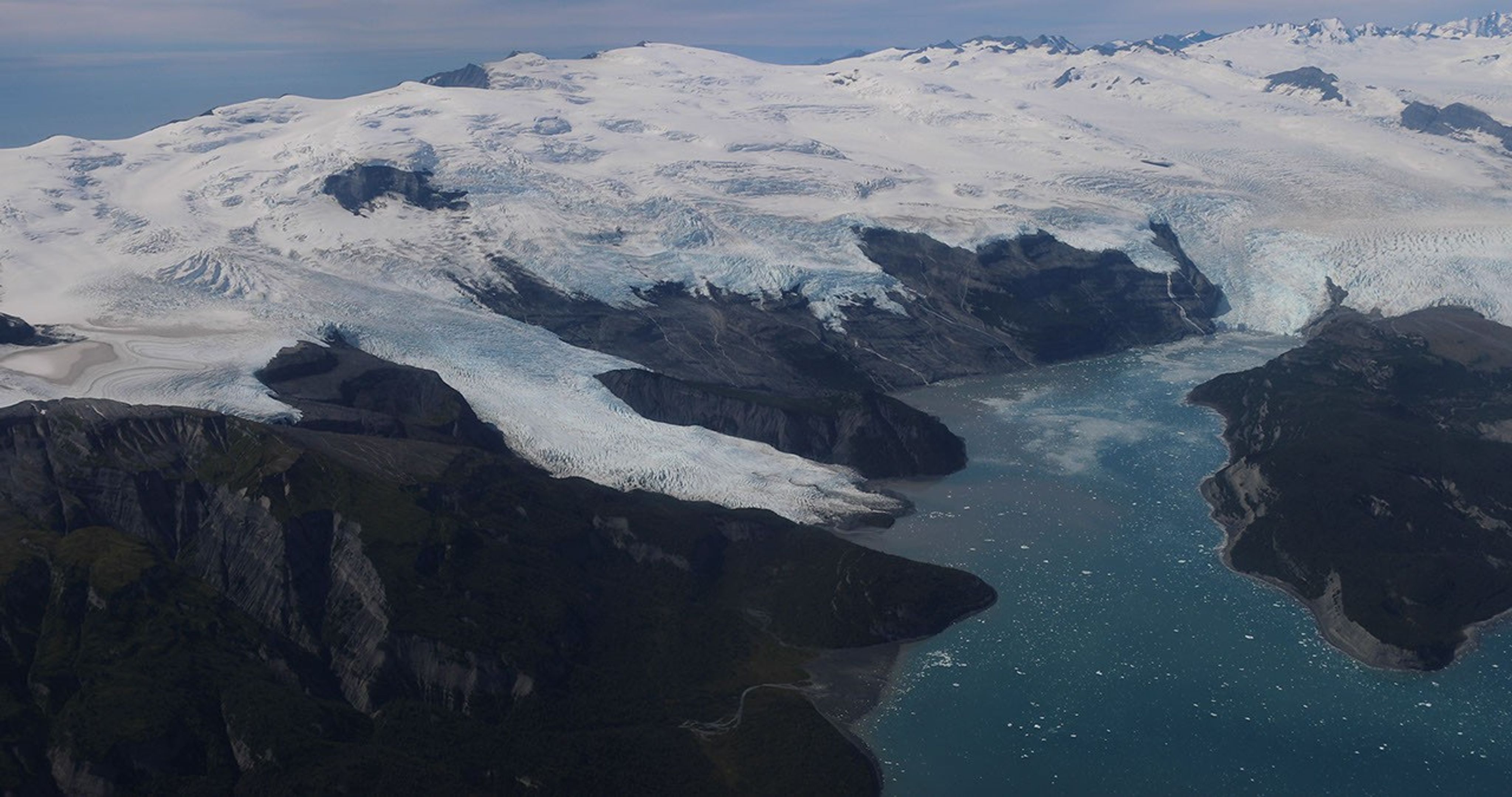
- Understand how retreating glaciers are affecting landslide activity
Science in Action
Starting in 2027, LACCE researchers will deploy high-resolution L- and P-band synthetic aperture radar aboard NASA's Gulfstream IV aircraft, in addition to ground-based piezometers, GPS, rainfall gauges, and soil-moisture sensors.
The study area will encompass hundreds of square miles of the California coast, from Los Angeles to Eureka, near the border with Oregon. The project also takes aim at emerging landslide hazards in Alaska, near Anchorage, where retreating glaciers are accelerating slope movements with the potential to create tsunamis.
Latest EVS-4 News
Explore other EVS-4 Campaigns
The EVS-4 missions: FARMFLUX | FORTE | HAMAQ | INSPYRE | LACCE | SNOW4FLOW