
























CSDA Vendor - Kuva Space
NASA's Commercial Satellite Data Acquisition (CSDA) program has acquired commercial datasets from Kuva Space.
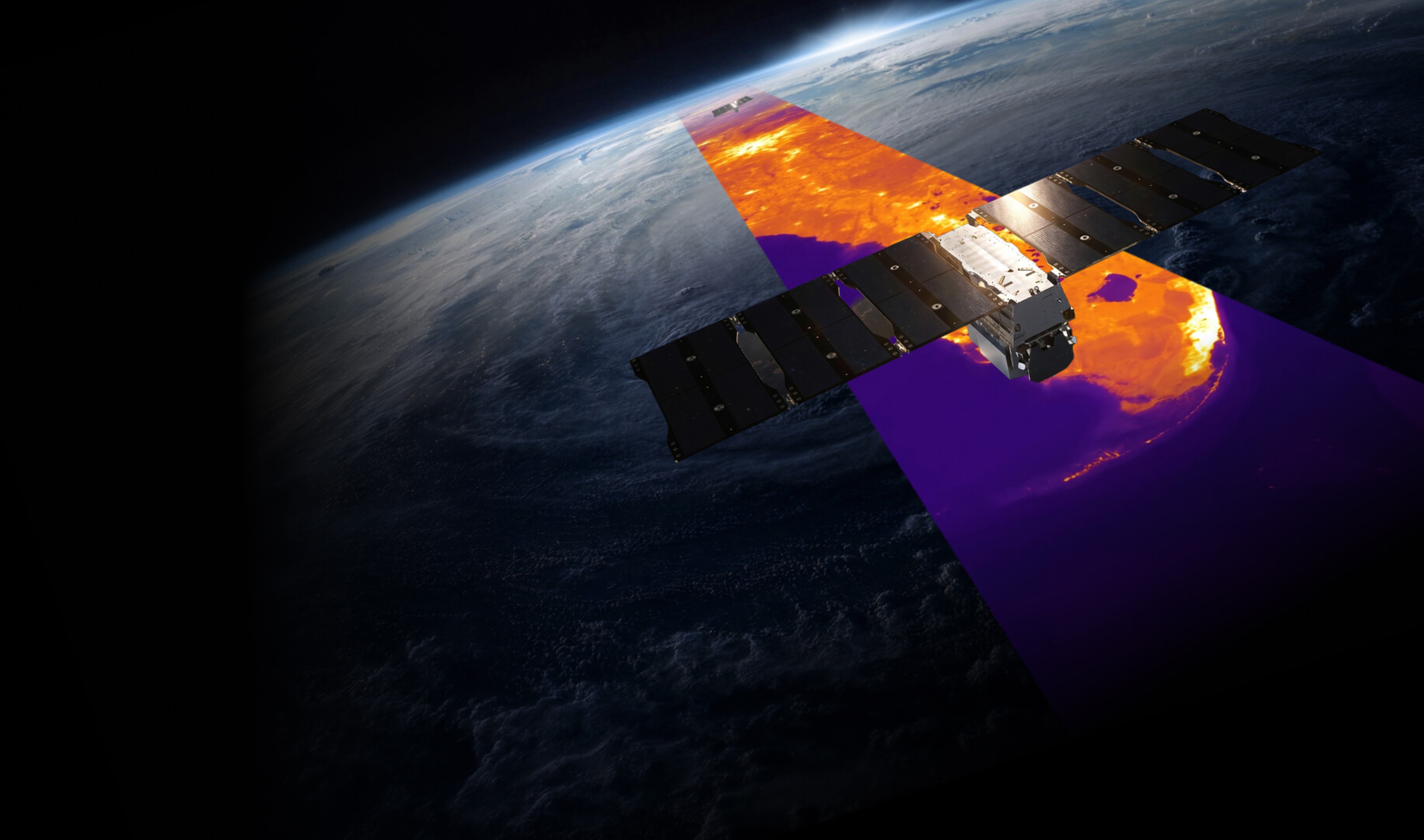
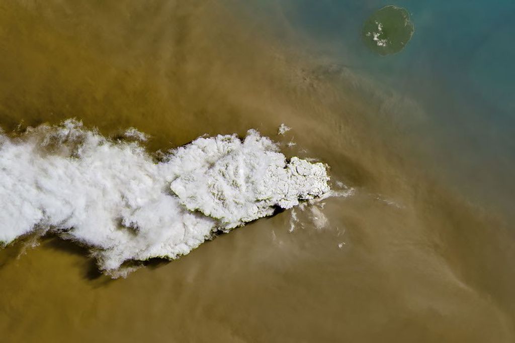
Kuva Space’s Hyperfield constellation provides consistently calibrated hyperspectral data to support scientific research and environmental monitoring. Operating in the visible and near‑infrared spectral range (475 nm–880 nm), the Hyperfield sensors capture detailed hyperspectral imagery that enables precise characterization of vegetation, soils, water bodies, land cover, and other surface materials based on their spectral characteristics.
Hyperfield data support a broad range of Earth science applications including: ecosystem monitoring, agriculture, forestry, inland and coastal water studies, land cover mapping, and environmental change detection. Kuva Space also develops AI-driven downstream analytics products to support timely decision-making.
Obtaining Data
All newly awarded commercial data provider products are currently undergoing CSDA evaluation. If you have any questions about these products, please email CSDA Support.
Copyright
Data products and derivatives for imagery must contain copyright markings as specified below, where YYYY is the year of the image acquisition.
- For data products: “© KuvaSpaceYYYY. All rights reserved.”
- derivatives: “Includes copyrighted material of KuvaSpace. All rights reserved.”
- A joint copyright notice may be used as appropriate.
CSDA Acknowledgement
To help CSDA identify your publications, we request that you include the following acknowledgment when publishing work created using these data:
“This work utilized data made available through the NASA Commercial Satellite Data Acquisition (CSDA) Program.” Authorized users should send CSDA a courtesy copy of any publications that include CSDA-distributed data.
Kuva Space Data Available from the CSDA Program
Data Characteristics
| Mission | Hyperfield-1 |
| Mission Size Category | Micro (<100kg) |
| Number of satellites | 2 |
| Satellite / Constellation | Hyperfield-1A/B (HF-1A & HF-1B) |
| Payload Sensor Domain | Hyperspectral Fabry-Pérot interferometer |
| Orbit altitude | 500 km |
| Orbit Type | Sun-synchronous |
| Launch | August 16, 2024 (HF-1A), June 23, 2025 (HF-1B). Lifetime: 5 years |
| Temporal revisit | At 50°N: ~4 days (two satellites) At the equator: ~11-12 days (two satellites) |
| Swath [km] | 52 km |
| Spectral Range | VNIR 475-880 nm |
| Spectral bands | 22 VNIR in routine acquisitions, configurable to 60 |
| Acquisition mode | Tasking, Screening |
| GSD | 25 m |
Kuva Space distributes calibrated spaceborne hyperspectral image products. Each scene covers approximately 50 × 40 km and is provided at three data levels - L1B, L1C, and L2A (see table below). The products are uploaded as a STAC‑compliant collection of cloud‑optimized GeoTIFFs (COGs), accompanied by a custom sidecar metadata file tailored to the mission’s requirements. Images are delivered as float32 TIFFs and do not require further rescaling. Each product package also includes additional TIFF files containing cloud and bad‑pixel masks. Analytic data products are delivered in standard raster and vector formats (e.g. GeoTIFF, GeoJSON).
Data Product Descriptions
| Product level | Product Description |
| Level 1B | Fully stitched hypercube containing all the VIS and NIR camera bands. Images are provided as Top of Atmosphere (TOA) reflectance and bad pixels have been corrected. |
| Level 1C | Orthorectified hypercube. The L1B product is orthorectified and reprojected to a coordinate system associated with the closest Universal Transverse Mercator (UTM) zone. Images are provided as TOA reflectance products. |
| Level 2A | Atmospherically corrected hypercube resulting from applying atmospheric correction to the L1C product. Images are provided as Bottom of Atmosphere (BOA) surface reflectance. |
| Ext | Associated value-added products include quality and ancillary layers that facilitate processing and analysis. These include bad-pixel masks, cloud masks, viewing geometry (zenith/azimuth angle) layers, quicklook images, Digital Elevation Model (DEM) layers for orthorectified products and quality metadata describing product integrity and processing history. |
Authorized Data Use and Users
Access to this data is governed by the CSDA End User License Agreements (EULAs). The minimum access level for data is the USG license. Depending on the specific data products provided, some or all data may also be available under higher-tier CSDA licenses, including USG-Plus and Public licenses.
Under the applicable license tier, authorized users may include:
- U.S. Government federal employees
- State, local, territorial, and tribal government personnel
- U.S. Government contractors and subcontractors
- U.S. Government–funded researchers and academic partners
- Other users authorized under applicable CSDA license levels (USG, USG-Plus, or Public)
All data use must comply with the terms of the EULA. All data requests must be reviewed and approved by NASA’s Commercial Satellite Data Acquisition (CSDA) program.
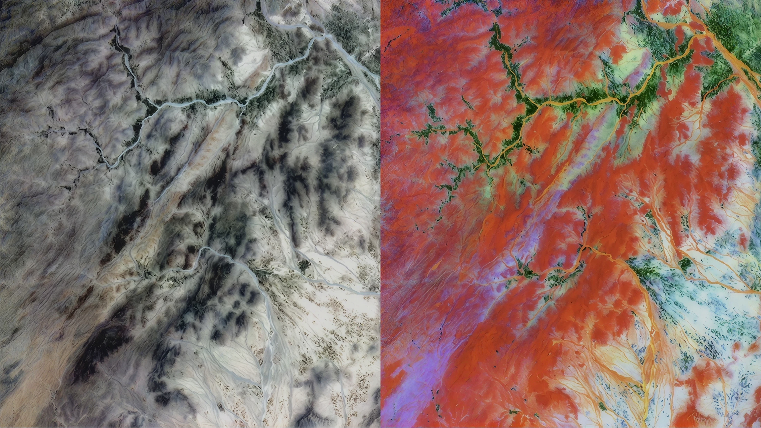
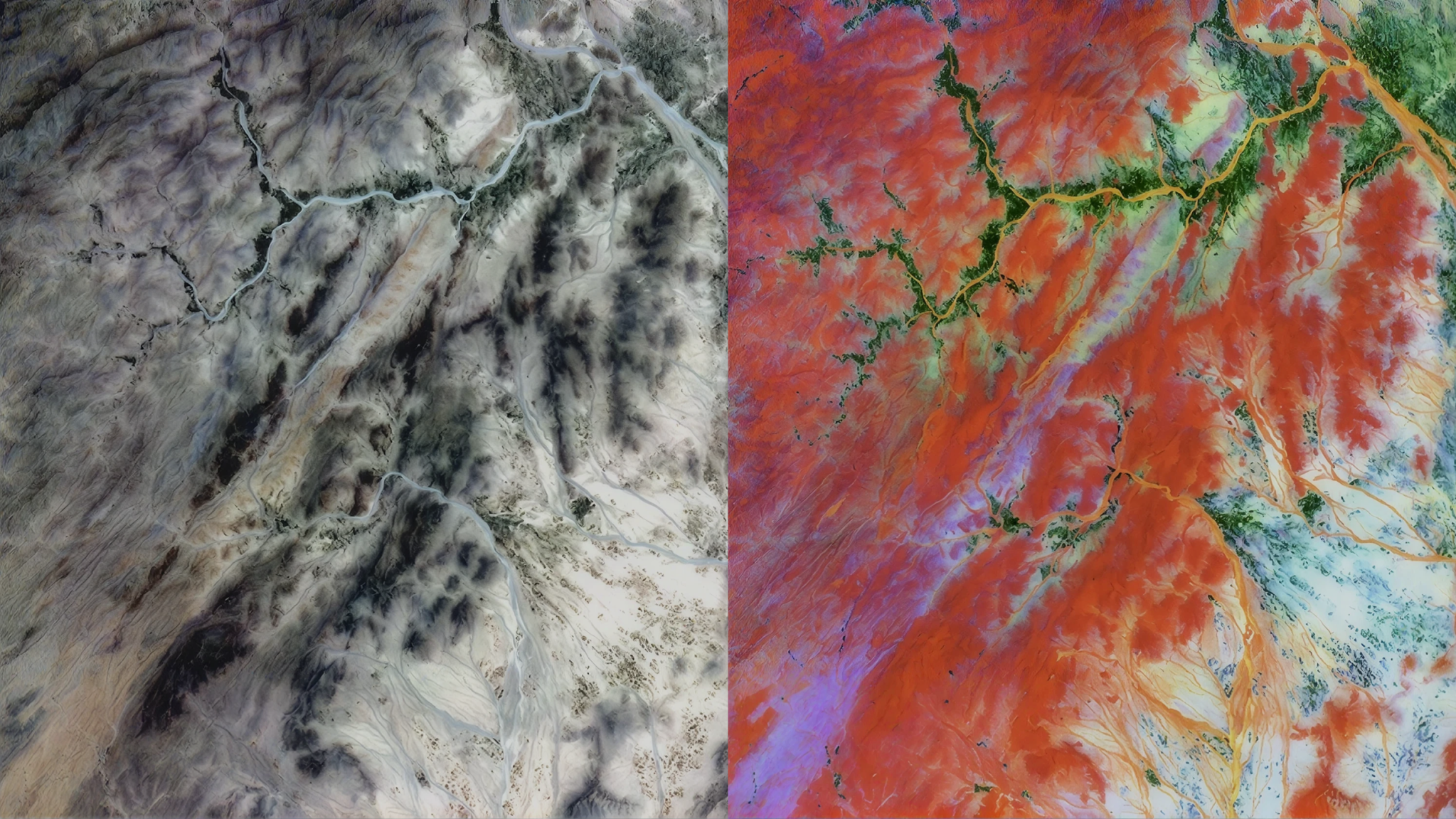
Top Banner Image: Hyperfield-1A image in western Helmand (May 2nd, 2026) along with a false RGB of its embeddings. The foundation model separates spectrally distinct materials, even within similar materials such as vegetation. Credit: © Kuva Space 2026. All rights reserved.