




























CSDA Vendor - BlackSky
NASA's Commercial Satellite Data Acquisition (CSDA) program has acquired commercial datasets from BlackSky for scientific purposes.
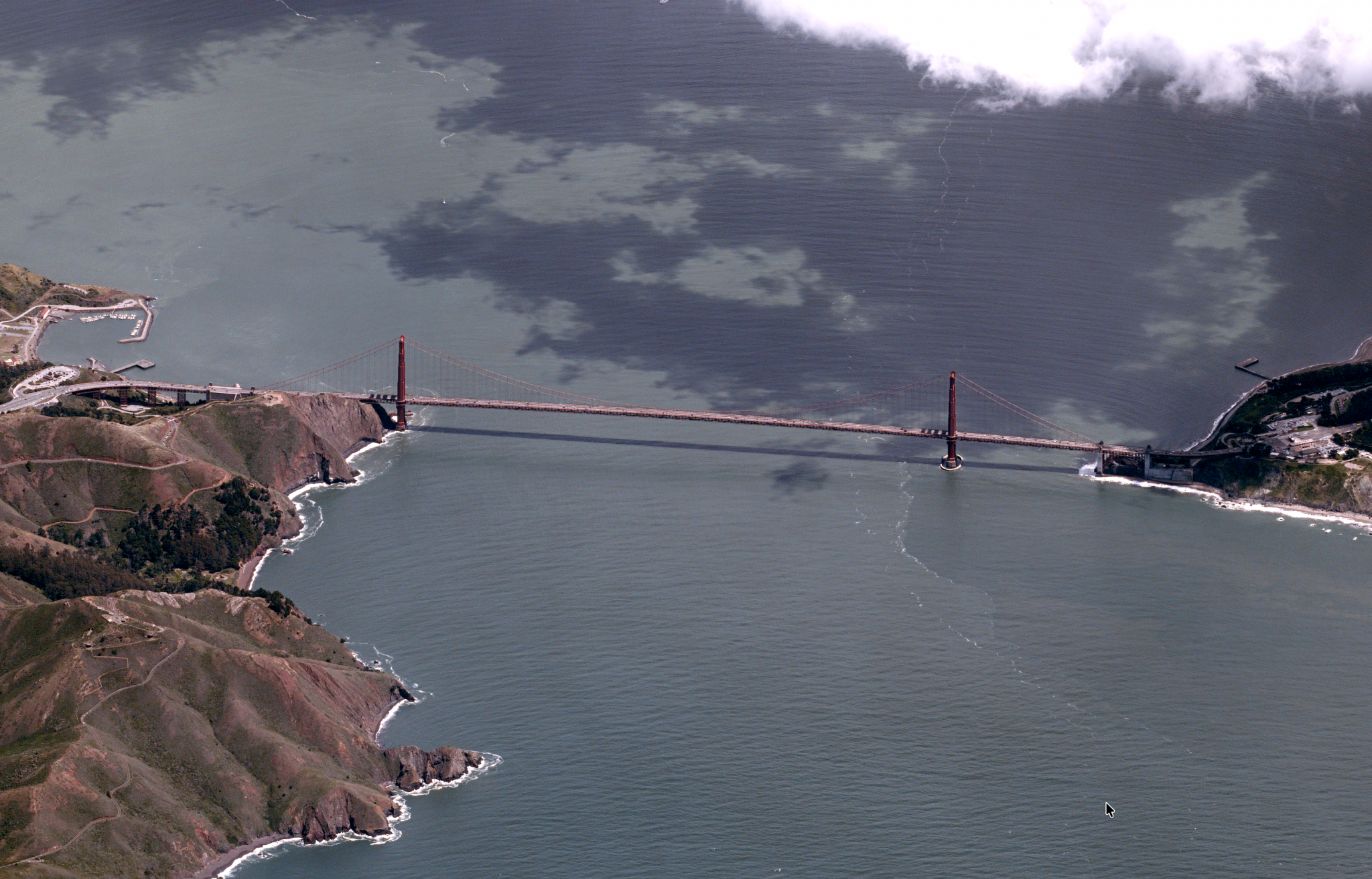
BlackSky provides electro-optical Earth observation imagery at 85 cm spatial resolution in panchromatic and visible red, green, and blue spectral bands from its Gen-2 constellation of satellites. Operating in mid-inclination orbits extending to approximately 53.5 degrees north and south latitude, the Gen-2 constellation supports intraday revisit and rapid data delivery (average collection-to-delivery latency, ~90 minutes or less) for daytime and nighttime collections across many of the world’s most populated, coastal, agricultural and environmentally significant regions.
Imagery products available to CSDA users include single-frame daytime and nighttime imagery, two-frame Area 2x1 collections and multi-frame stereo in two-frame or five-frame, with non-orthorectified and orthorectified processing options and delivery in GeoTIFF and NITF formats. With geolocation accuracy of less than 10 m CE90 globally and an imagery archive dating to 2018, BlackSky datasets support historical analysis and longitudinal change detection for applications including land-surface monitoring, disaster response and recovery assessment, coastal and urban monitoring, characterization of dynamic surface conditions and more.
Obtaining Data
- To request access to CSDA-distributed data, complete the CSDA Authorization form. The CSDA team will verify if the user is authorized for data access.
- Search and download BlackSky data using the CSDA Satellite Data Explorer (SDX). An Earthdata Login is required.
Copyright
Data products and derived products for imagery must contain the following copyright markings (YYYY is the year of the image acquisition):
- For data products: “© BlackSky Inc YYYY. All rights reserved.”
- For derived products: “Includes copyrighted material of BlackSky All rights reserved.”
- A joint copyright notice may be used as appropriate
CSDA Acknowledgment
To help CSDA identify your publications, we request that you include the following acknowledgment when publishing work created using these data:
"This work utilized data made available through the NASA Commercial Satellite Data Acquisition (CSDA) program." Authorized users should send CSDA a courtesy copy of any publications that include CSDA-distributed data.
Evaluation
Documentation
BlackSky Data Available through the CSDA Program
| Attribute | Daytime | Nighttime | Area 2x1 | Stereo set | Stereo pair |
| Description | Single-frame image taken during daylight hours | Single-frame image capturing ambient light after sunset | Two images acquired in a single pass with a ~20% overlap | Give images of the same target taken in a single pass from different angles | Two images of the same target taken in a single pass from different angles |
| Frames | 1 | 1 | 2 | 5 | 2 |
| Spectral bands | Panchromatic, red, green, blue | Panchromatic | Panchromatic, red, green, blue | Panchromatic, red, green, blue | Panchromatic, red, green, blue |
| Spectral wavelength ranges | Pan: 450–700 nm Red: 590–700 nm Green: 500–590 nm Blue: 450–520 nm | Pan: 450–700 nm | Pan: 450–700 nm Red: 590–700 nm Green: 500–590 nm Blue: 450–520 nm | Pan: 450–700 nm Red: 590–700 nm Green: 500–590 nm Blue: 450–520 nm | Pan: 450–700 nm Red: 590–700 nm Green: 500–590 nm Blue: 450–520 nm |
| Data file formats | GeoTIFF, NITF 2.1, PNG, JPG, JSON | GeoTIFF, NITF 2.1 | GeoTIFF, NITF 2.1, PNG, JPG, JSON | GeoTIFF, NITF 2.1 | GeoTIFF, NITF 2.1 |
| Processing levels | Ortho; non-ortho | Non-ortho | Ortho; non-ortho | Non-ortho | Non-ortho |
| Coordinate system | Ortho: UTM WGS84 Non-ortho: EPSG:4326 | EPSG:4326 | Ortho: EPSG:4326 Non-ortho: UTM WGS84 | EPSG:4326 | EPSG:4326 |
Product Specifications and Attributes
| Attribute | Daytime | Nighttime | Area 2 x 1 | Stereo Set | Stereo Pair |
| Metadata | JSON metadata | JSON metadata | PAN mosaic; RGB mosaic | Stereo STE metadata | Stereo STE metadata |
| Image pixel units | Scaled DN | Scaled DN | Scaled DN | Scaled DN | Scaled DN |
| Minimum scene size | 24 km² | 24 km² | 45 km² | 24 km² | 24 km² |
| Sun-elevation requirement | −4° or higher | −5° or lower | 10° or higher | 10°–50° | 12°–50° |
| Maximum off-nadir angle | 60° | 40° | Not specified | Not specified | Not specified |
| Stereo-geometry requirement | Not applicable | Not applicable | Not applicable | 12°–50° convergence angle between images | 10°–60° convergence angle between images |
Authorized Data Use and Users
Access to this data is governed by the CSDA End User License Agreements (EULAs). The minimum access level for data is the USG license. Depending on the specific data products provided, some or all data may also be available under higher-tier CSDA licenses, including USG‑Plus and Public licenses.
Under the applicable license tier, authorized users may include:
- U.S. Government federal employees
- State, local, territorial, and tribal government personnel
- U.S. Government contractors and subcontractors
- U.S. Government–funded researchers and academic partners
- Other users authorized under applicable CSDA license levels (USG, USG‑Plus, or Public)
All data use must comply with the terms of the EULA. All data requests must be reviewed and approved by NASA’s Commercial Satellite Data Acquisition (CSDA) program.
Learning Resources
For more information about the commercial data from BlackSky available through the CSDA program, see the BlackSky NASA CSDA Vendor Focus webinar.
Top Banner Image: An extreme high-off nadir capture of the Golden Gate Bridge in San Francisco, California, taken 22 April 2026. Image © BlackSky 2026. All rights reserved.