




























CSDA Program Activities
On-going activities of the Commercial Satellite Data Acquisition (CSDA) program
Events & Announcements
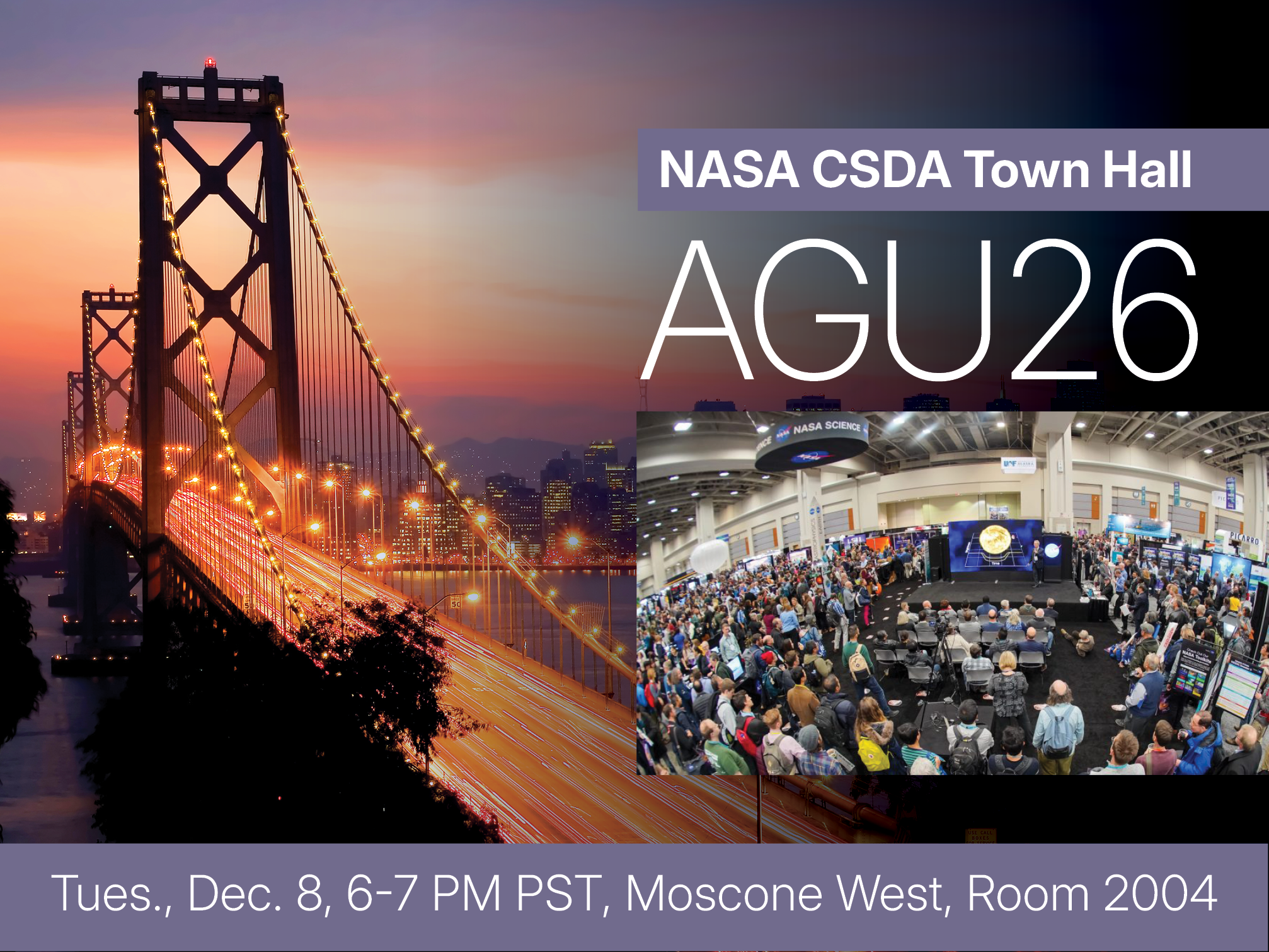
NASA CSDA Program to Host “Expanding Earth Science Through Commercial Data” Town Hall at AGU26
NASA’s Commercial Satellite Data Acquisition (CSDA) program will host the town hall, “Expanding Earth Science Through Commercial Data: An Update from NASA Commercial Satellite Data Acquisition Program,” at the 2026 American Geophysical Union’s (AGU) Annual Meeting.
The CSDA program is a science‑enabling program that provides licensed access to high‑quality commercial Earth observation data, strengthens data quality through cal/val partnerships and transparent evaluations, and supports the development of science and application use cases to help turn commercial data into actionable research and applied solutions. This town hall, which will take place on Tuesday, December 8 from 6:00 - 7:00 pm (18:00 - 19:00) PST in Moscone West room 2004, will update attendees on the CSDA program’s latest developments and initiatives, including the program’s newly on-ramped data providers; the results of recent data quality assessments; upcoming solicitations and opportunities for researchers; and updates on data access, licensing, and archiving through NASA repositories.
In addition, attendees will also learn about the CSDA’s:
- Efforts to shape NASA’s strategy for responsibly integrating commercial data into NASA’s research and applications, including priorities for validation, interoperability, and long-term scientific use
- Partnerships with commercial data providers to address emerging needs and data gaps
- Ideas for strengthening partnerships between NASA and the commercial data providers
To participate, town hall attendees must be registered for AGU26. One-day registrations will be available for participants who are only attending the town hall. Individuals will not be permitted in the meeting rooms of the convention center without an attendee registration badge. The early rate registration deadline is November 5, 2026.
The 2026 AGU annual meeting will take place December 7–11 in San Francisco, California. Each year, AGU’s annual meeting is the largest gathering of Earth and space scientists convening 25,000+ attendees from 100+ countries to share research and connect with friends and colleagues. Scientists, educators, policymakers, journalists and communicators attend AGU26 to better understand our planet and environment.
To register, or for the latest updates and information, visit the AGU26 website.