
























CSDA Vendor - Hydrosat
NASA's Commercial Satellite Data Acquisition (CSDA) program has acquired commercial datasets from Hydrosat.
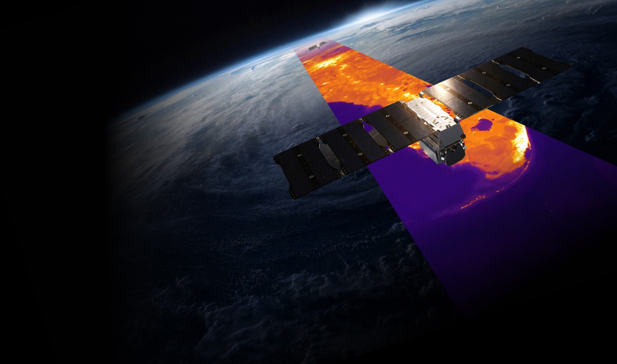
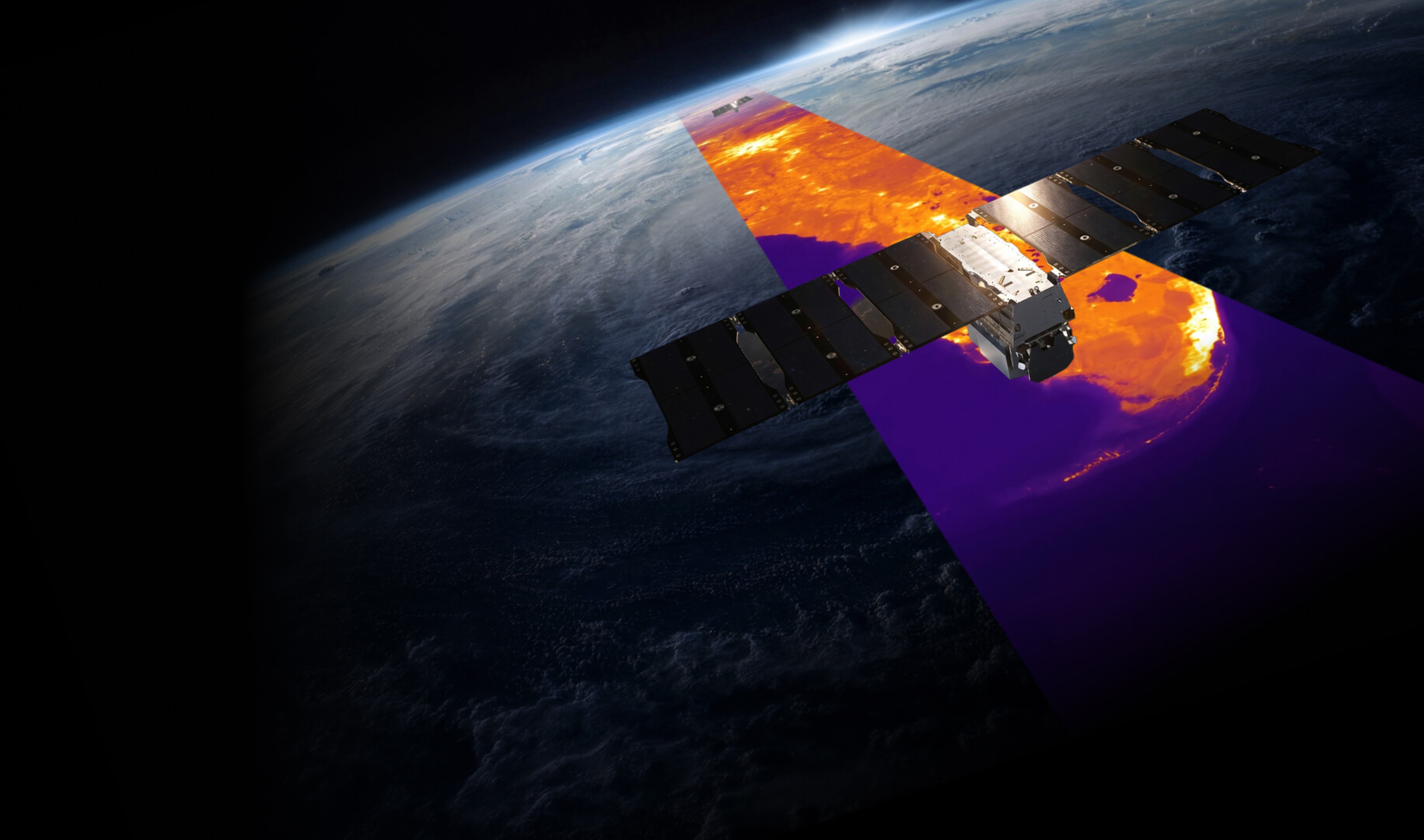
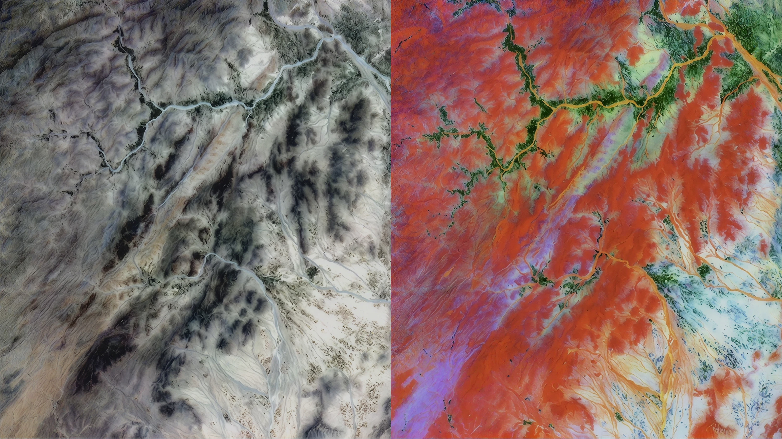
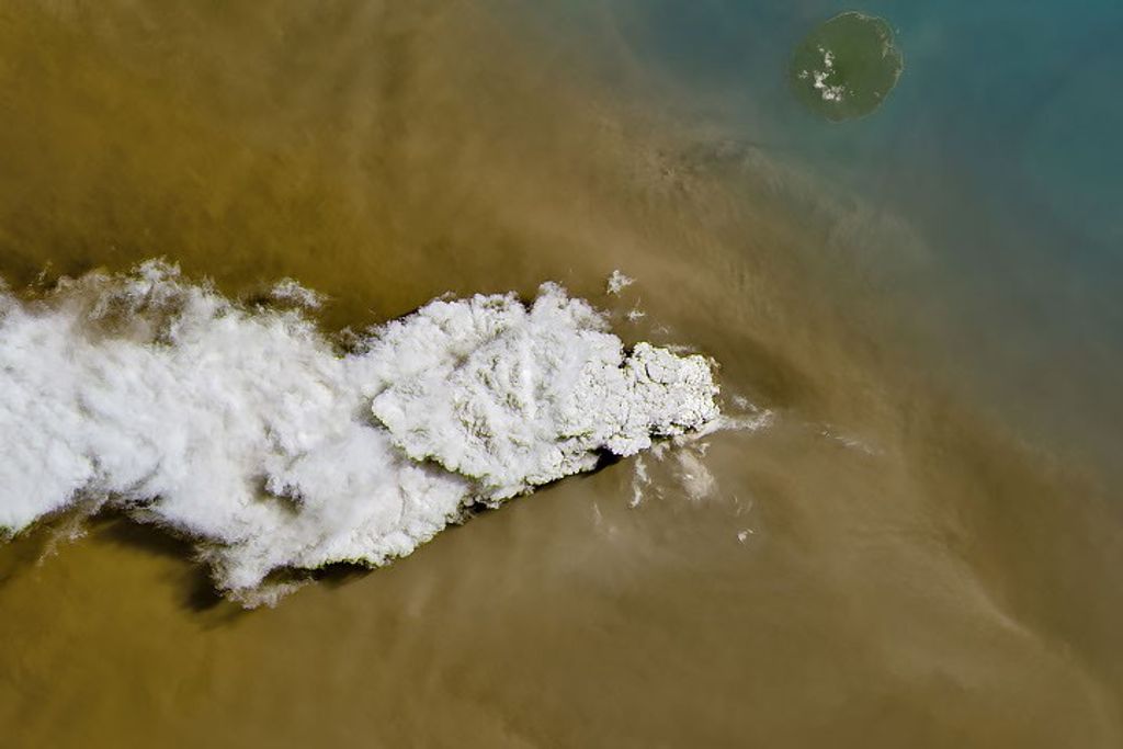
Hydrosat operates a two-satellite (VanZyl-1 and VanZyl-2) constellation outfitted with two Earth-sensing instruments, a Longwave Infrared Imager (LIRI), and a Visible Near Infrared Imager (VIRI), collecting coincident 30-meter Visible Near Infrared (VNIR) and 70-meter Long Wave Infrared (LWIR) imagery, across a broad 70-kilometer (km) field of view. Because it can measure changes in temperature over time, day and night, Hydrosat’s thermal infrared data has the potential to increase agricultural production and improve water management with early water stress detection, identify localized urban heat impacts and urban heat island effects, detect geohazards such as volcanic activity, and monitor emissions and activity signals at industrial sites.
Obtaining Data
All newly awarded commercial data provider products are currently undergoing CSDA evaluation. If you have any questions about these products, please email CSDA Support.
Hydrosat encourages researchers and analysts to explore previews of their vast archive
for free using their Discovery platform.
Copyright
Data products and derivatives of imagery must contain copyright markings as specified below,
where YYYY is the year of the image acquisition.
- For Hydrosat data: “© Hydrosat, YYYY. All Rights Reserved.”
- For derivatives: "Includes copyrighted material of Hydrosat, All Rights Reserved.”
- A joint copyright notice may be used as appropriate.
CSDA Acknowledgment
To help CSDA identify your publications, we request that you include the following acknowledgment when publishing work created using these data:
“This work utilized data made available through the NASA Commercial Satellite Data Acquisition (CSDA) Program.” Authorized users should send CSDA a courtesy copy of any publications that include CSDA-distributed data.
Documentation
For more information on available Hydrosat data products, user guides on thermal data, and use
cases and more, please visit Hydrosat’s documentation pages.
Hydrosat Data Available from the CSDA Program
VZ Constellation Specifications
| Orbit Type | Sun synchronous | |
| Orbit Altitude | 500-600 km | |
| LTDN | LTAN | 10:30 AM, 1:30 PM | | 10:30 PM, 1:30 AM |
| Swath Width | 70 km | |
| Average Revisit (day only or night only) Equator +/- 20° latitude +/- 40° latitude +/- 60° latitude +/- 80° latitude | Nadir 18.82 16.05 15.35 8.43 2.12 | 20° Off-nadir* 3.07 2.91 2.38 1.5 >2 |
| Spatial Resolution (GSD) | VNIR: 30 M LWIR: 70 M | |
| Visible & Near Infrared Bands | 458-523 nm (Blue) 543-578 nm (Green) 650-680 nm (Red) 698 - 713 nm (Red Edge 1) 733 - 748 nm (Red Edge 2) 773 - 793 nm (Red Edge 3) 785-900 nm (NIR) | |
| Thermal Infrared Bands | 10.6-11.19 μm (LWIR 1) 11.5-12.51 μm (LWIR 2) |
Imagery Product Levels
| Processing Level | Description |
| Level 1A VNIR (Day) | 7-band (VNIR) at-sensor radiance product. It is geolocated and projected to the ground but not orthorectified and it is presented at native resolution of 30m |
| Level 1A LWIR (Day or Night) | 2-band (LWIR) at-sensor radiance product. It is geolocated and projected to the ground but not orthorectified and it is presented at native resolution of 70m |
| Level 1B Combined VNIR + LWIR (Day) | 7-band (VNIR) top-of-atmosphere reflectance and 2-band (LWIR) top of-atmosphere brightness temperature product. The data is co-registered, orthorectified, and aligned on a common 30 m grid. |
| Level 1B LWIR (Night) | Two-band (LWIR) top-of-atmosphere brightness temperature product |
| Level 2 | Surface temperature and surface reflectance product at 30m pixel size |
Authorized Data Use and Users
Access to this data is governed by the CSDA End User License Agreements (EULAs). The
minimum access level for data is the USG license. Depending on the specific data products
provided, some or all data may also be available under higher-tier CSDA licenses, including
USG-Plus and Public licenses.
Under the applicable license tier, authorized users may include:
- U.S. Government federal employees
- State, local, territorial, and tribal government personnel
- U.S. Government contractors and subcontractors
- U.S. Government–funded researchers and academic partners
- Other users authorized under applicable CSDA license levels (USG, USG-Plus, or Public)
All data use must comply with the terms of the EULA. All data requests must be reviewed and
approved by NASA’s Commercial Satellite Data Acquisition (CSDA) program.
Top Banner Image: Hydrosat imaging Earth. © Hydrosat 2026